Introduction: Mt. Ibuki is know as one of so called Japan's 100 Mountains. It
is only 1,300m high so it should not be too bad trip. I thought.
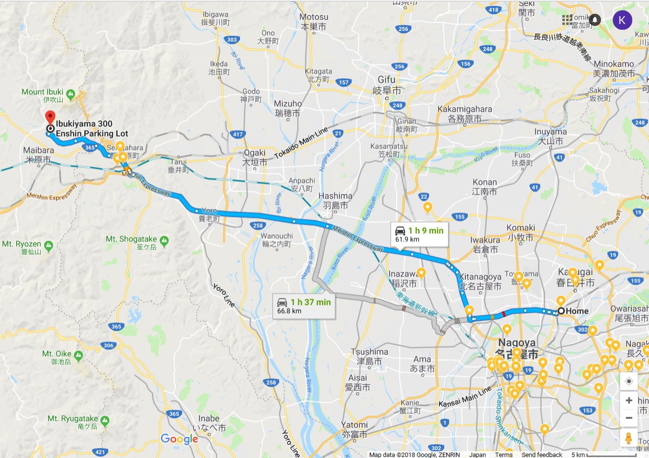
Woke up before 5:00am, stretched my body and I packed meals and drinks purchased last night. Left my apartment around 6:30am, and drove to the entrance of Nagoya Loop 2 at Kachigawa, I switched to Nagoya Expressway to Kiyosu Line then switched to Meishin Expressway.
 Driving on Loop 2
6:41am
Driving on Loop 2
6:41am
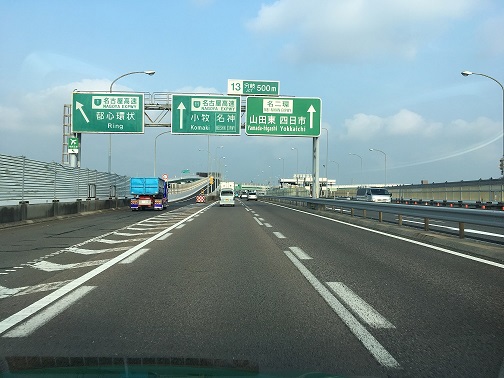
 At Ichinomiya
JCT at 6:52am
At Ichinomiya
JCT at 6:52am
This is my first time driving on Meishin Expressway. My impression was that there are more people on the road and number of trucks is much more than at Tomei Expressway which I travelled a couple of days ago.
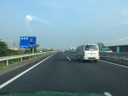 Entering Gifu Pref
6:59
Entering Gifu Pref
6:59
A bullet train just passed me as I was driving on a bridge over Kiso River, I kept driving on the road, passing Gifu Hashima, and Yoro before arriving at Sekigahara Exit at 7:17am
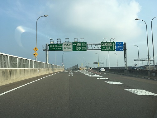
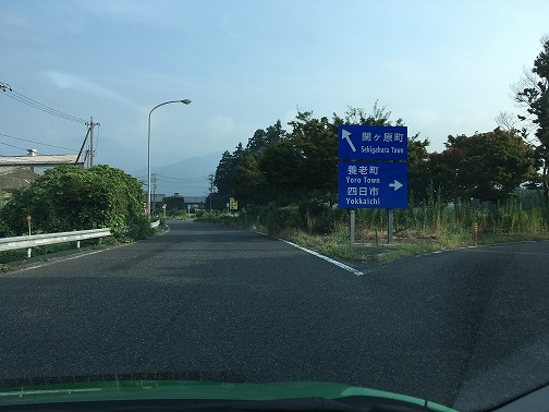 taking
left side to Sekigahara 7:17am
taking
left side to Sekigahara 7:17am
 Getting off
to local road, the traffic signals aligned the lights in vertical to prevent
snow build up
Getting off
to local road, the traffic signals aligned the lights in vertical to prevent
snow build up
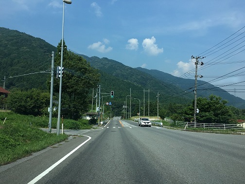
After getting off at Sekigahara, I drove on a local road R365, which was winding with some ups and downs. I checked the map and made sure that I am heading to the right place and soon I got there. I found a parking which is cheaper on the Google and parked my car as the third person. Since there is no attendant, I dropped cash into a deposit box which is an old refrigerator...
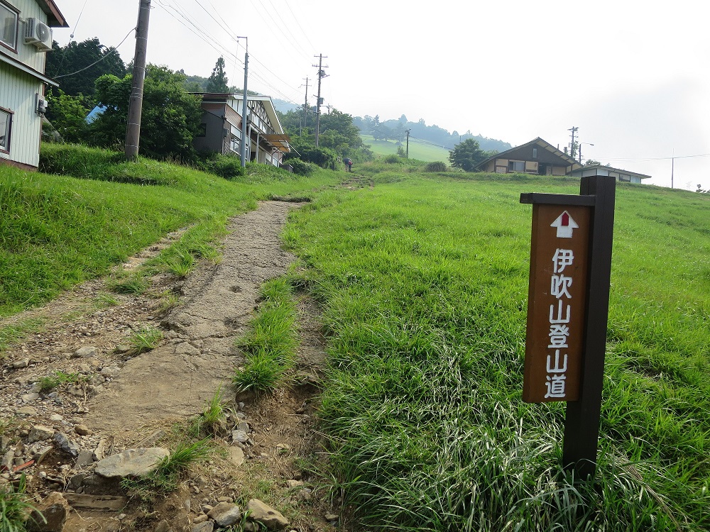
I checked the gear and locked up my car. It was a short walk to the trail entrance. I began hiking up the trail, it was well maintained to start with. I greeted a monk who came down with two banner, one for this year and another from 2 years ago. Good for him so I bid farewell and continued.
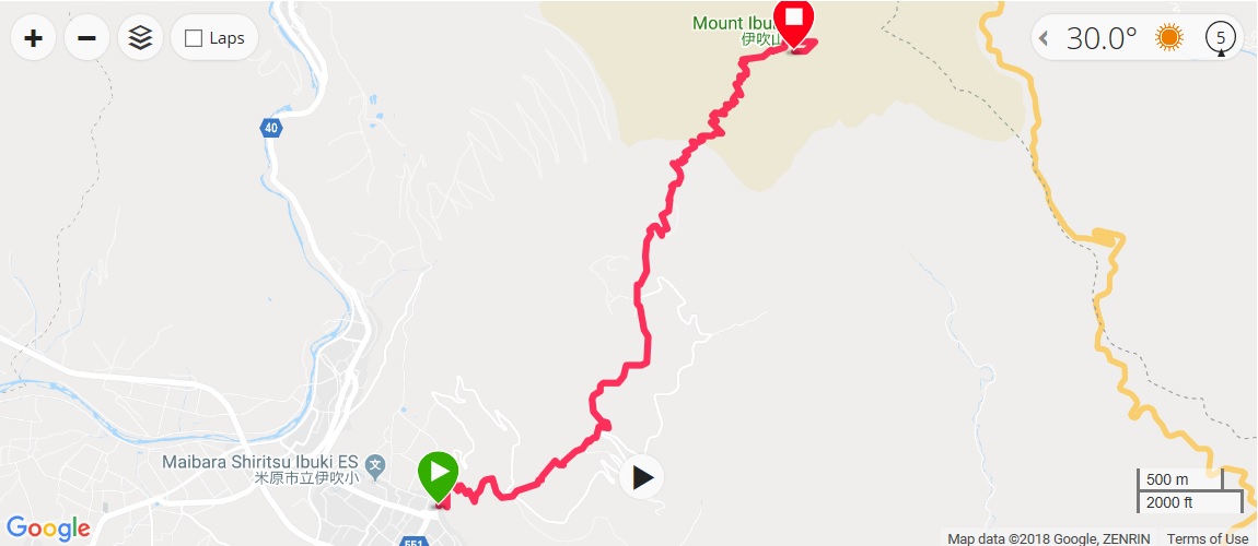 Tracking
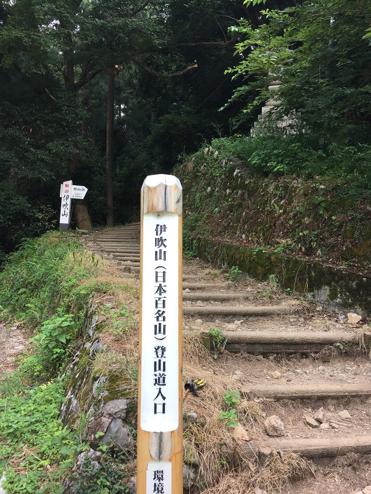 Trail
Entrance
Trail
Entrance
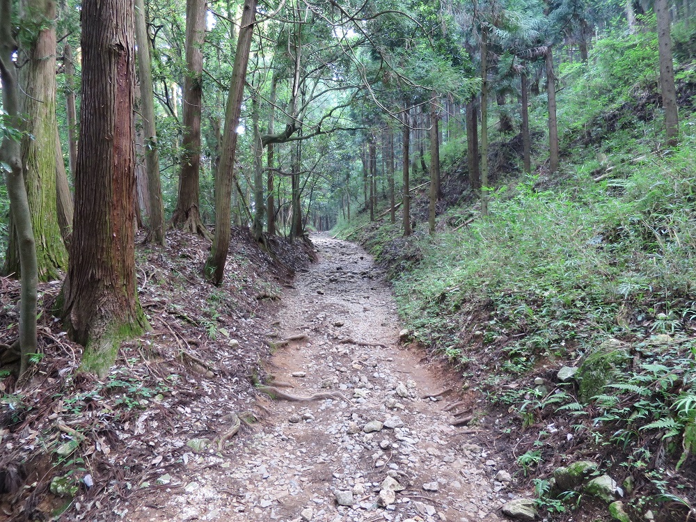 8:15am,
walking up well maintained trail
8:15am,
walking up well maintained trail
 8:29am,
looking up
8:29am,
looking up
Soon there is an open area, with a few stores and hotels. I was already sweating hard and taking heavy breath. It's been a while since the last hike so it cannot be helped.
 8:36am
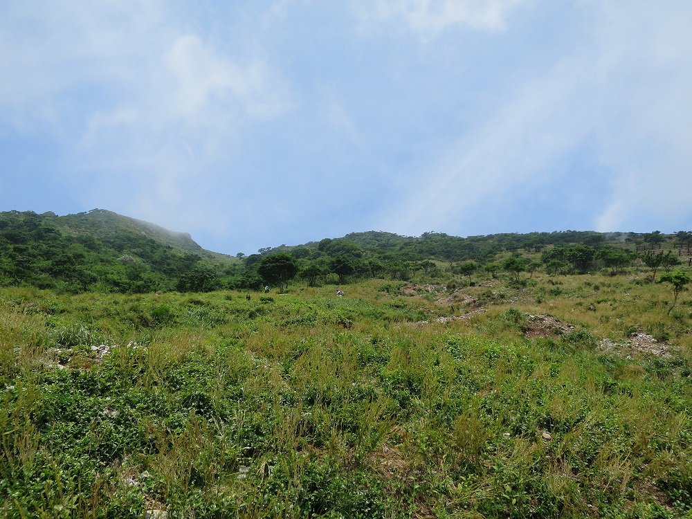
I walked up a road by open grassy space, probably for the paragliding. When I reached the top, I can look down toward the foot of the mountain. It was hazy but still a nice view. I was taking a break and met with a couple of people looking for mountain flowers, as well as a guy who came down in full sweat, complaining that there is no tree cover to the summit and three others decided to continue but he's going to take things easy.
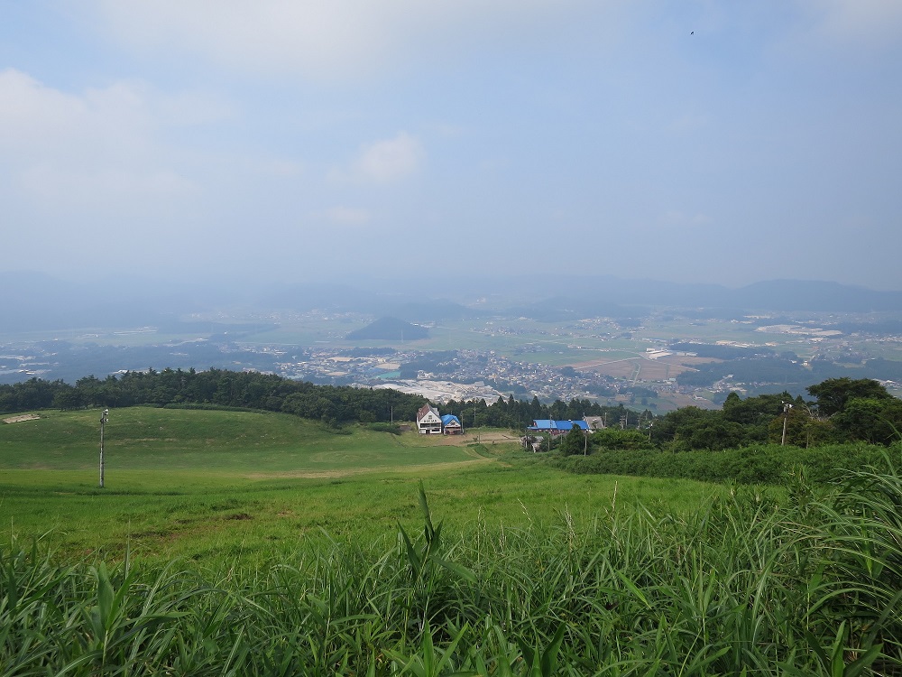 8:45am, looking
down
8:45am, looking
down
 Continue
on the trail
Continue
on the trail
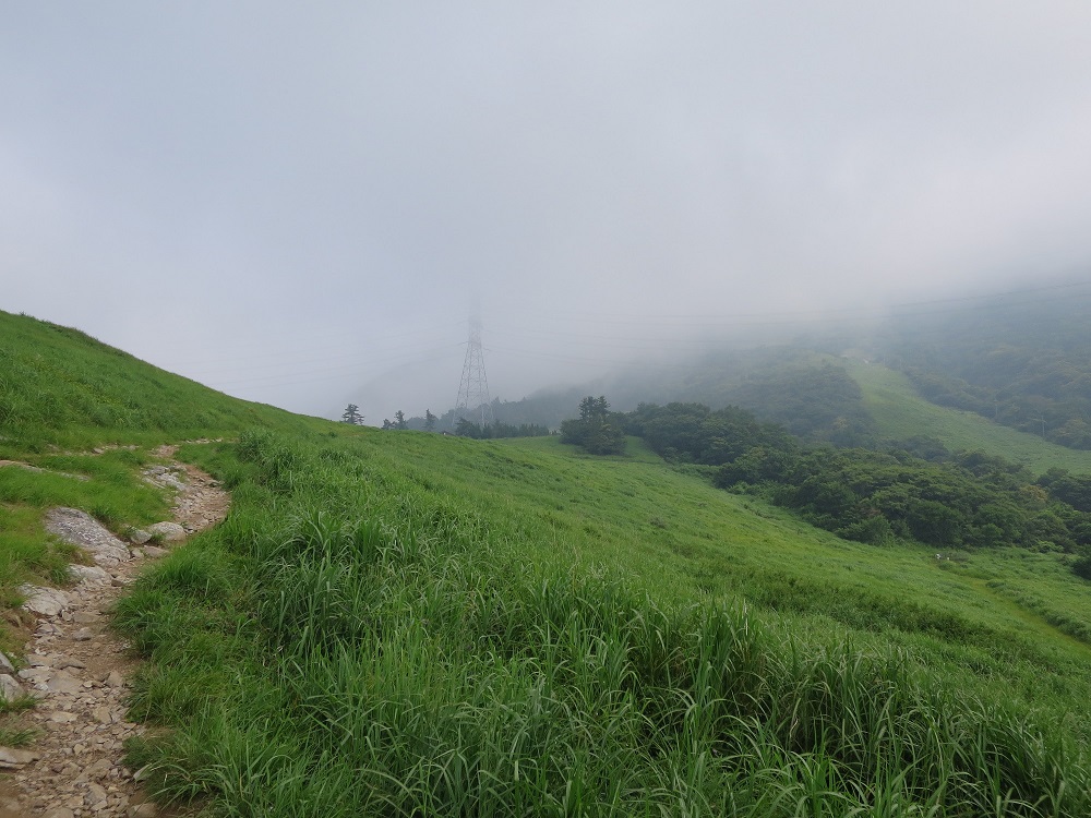
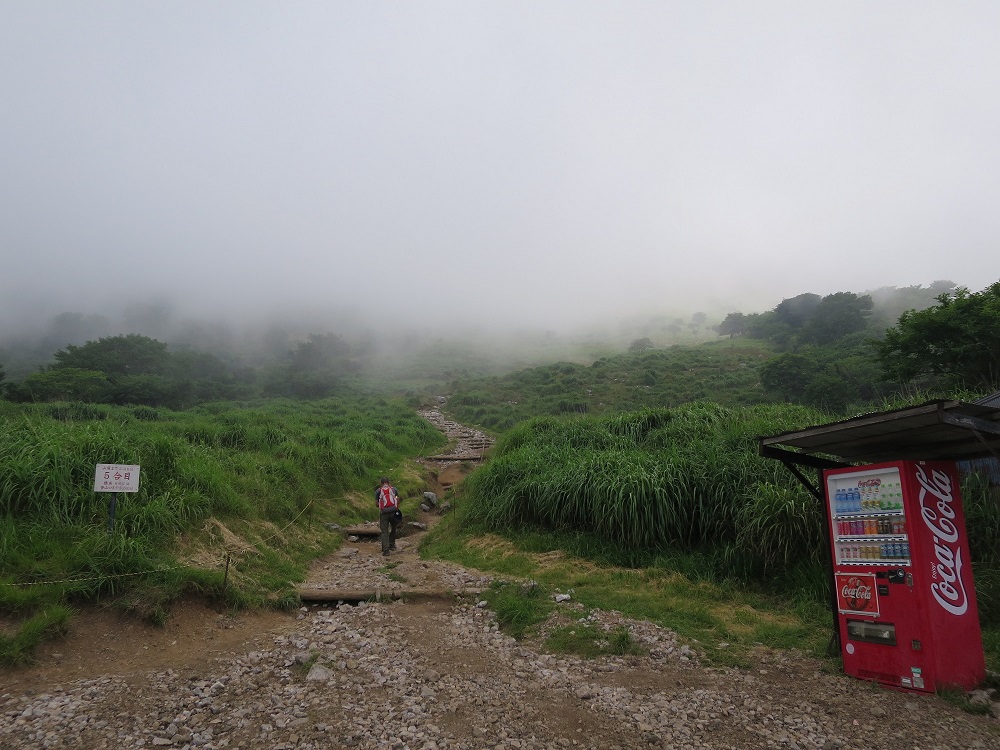
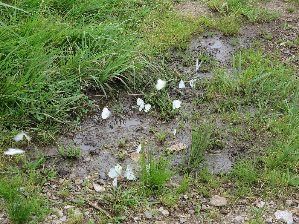
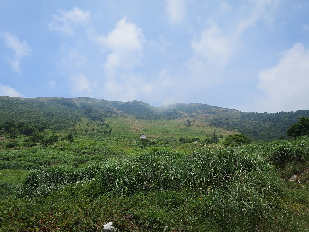
I continued on the trail. There is a restroom station and there is nothing between here and the summit so I made a quick stop there. From here, I will be walking up the trail with fog ahead of me. The price of 500mL drink already reaching 240Yen, and will be another 10 yen increase at the summit. There was a group of butterflies drinking water.
 9:50 5th
 9:50
9:50
The trail is winding and very much no cover from wind, rain or anything else. so I decided to take break for every 10% of the path, reaching 6th around 10:05am and took a short break with fog surrounding me.
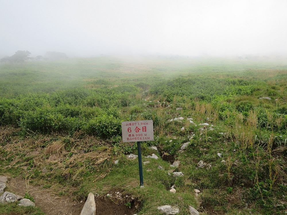 10:08 6th
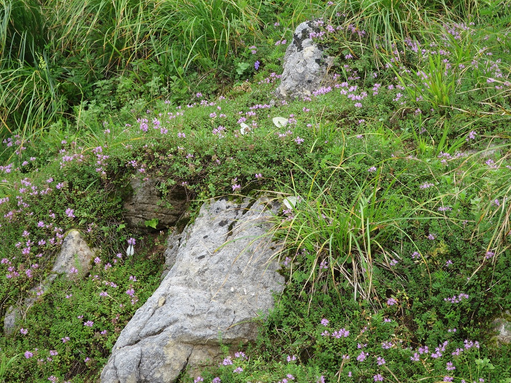 10:38
Wildflowers
10:38
Wildflowers
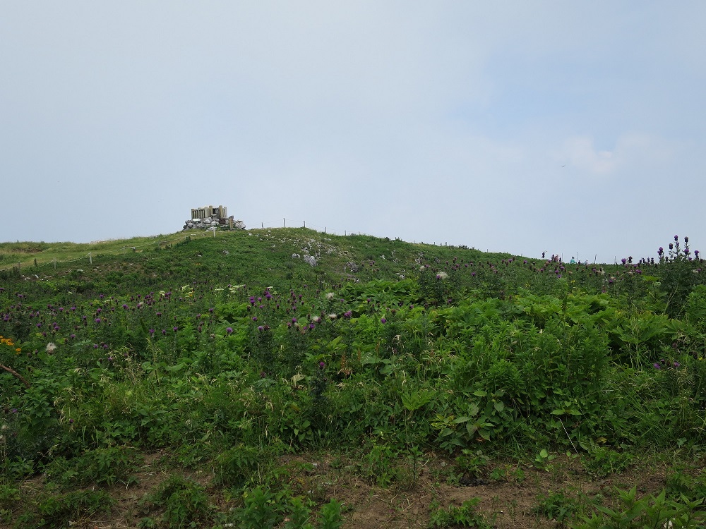
The sky was finally clearing and I start to see the top of the mountain. I walked up on and off, slowly but surely.
![]() 10:50
10:50
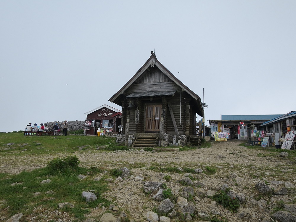
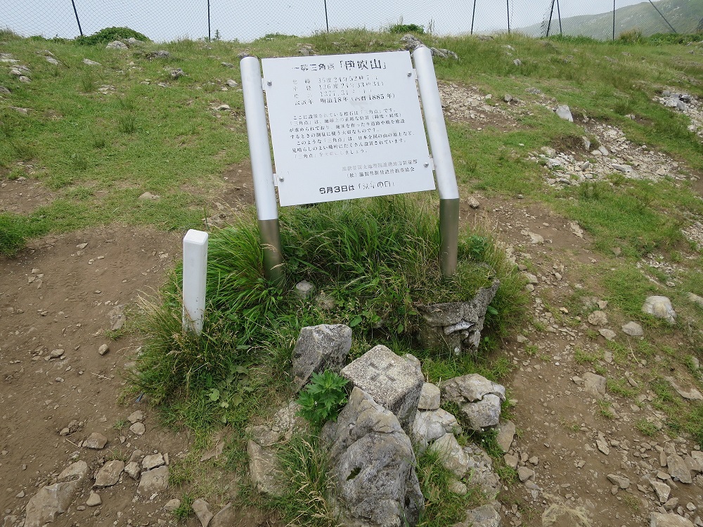
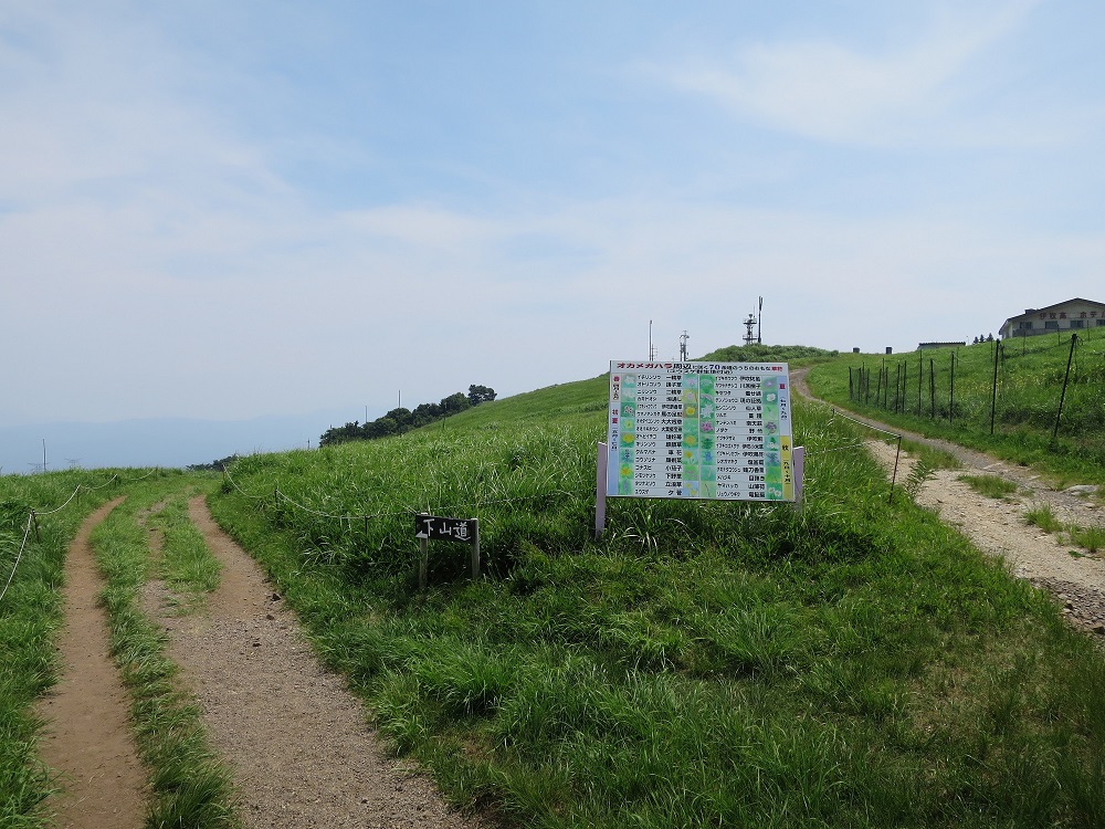
I reached the summit at 11:20am, about 3.5 hours since I started. Some can clear it in 2.5 hours so I guess lack of preparation did it. At the summit, there is a restroom I can use, as well as a temple, about 4 stores. I walked around and had lunch while looking at many dragonflies.
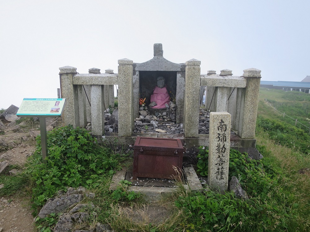 Maitreya Shrine (South)
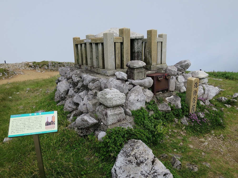 Maitreya
Shrine
Maitreya
Shrine
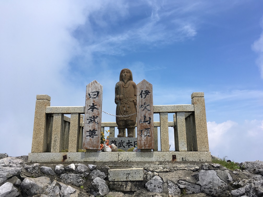 Statue of
Yamato Takeru
Statue of
Yamato Takeru
 11:23
11:23
 11:23
11:23
 11:55
11:55
Starting the descend from noon. The weather was clearing up but at same time, the temperature is rising. Going down is much easier so I did not expect it is going to take too long. Also because I was doing Pilates for last two years, I can manage my body better.
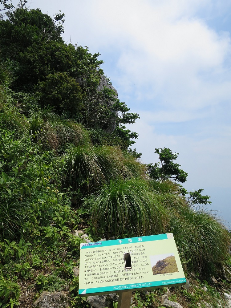 Gripping
Rock
Gripping
Rock
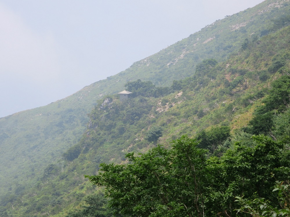 A small shack on
top of giant rock
A small shack on
top of giant rock
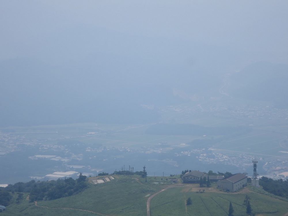
Occasionally I look back up the mountain now showing me the whole. However, the foot of mountain is as hazy as in the morning so I can only see blurry image of shinkansen train passing by in a distance.
 12:34
12:34
 12:50
12:50
 12:59
12:59
 1:27
1:27
About 1km to go. Almost all the drink ran out so I had to buy a bottle of Aquarius which cost me 200 Yen. Drinking of cold drink under shade was something. The breeze made my feels good, but my both toes now have blisters for sure so every step I feel pain.
 Finally I get to see the whole mountain 1:27pm
I come back to the base, washing my face with ice cold spring water. I took breath and walked to a nearby store to buy a pack of local milk. The lady told me about a lot of stories, and also this heat.
 2:33pm
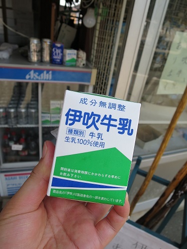 Ibuki Milk, a
local milk 2:38pm
Ibuki Milk, a
local milk 2:38pm
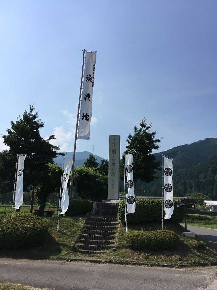
I walked back to the parking, get changed, and left the parking around 2:30pm, drove on local road toward Sekigahara. I stopped by at a site of the Battle of Sekigahara.
 Driving back
home under nice sunny sky
Driving back
home under nice sunny sky
 3:10pm
Sekigahara
3:10pm
Sekigahara
I resumed my trip back to Nagoya. Drove to the entrance for Meishin, passing through the gate around 15:20 and began journey back to Nagoya. The drive back to Nagoya was easy but hot. There was only one place with slow traffic because of road construction. Took the same path came in just opposite way. I got off from the Expressway and took local road back home.
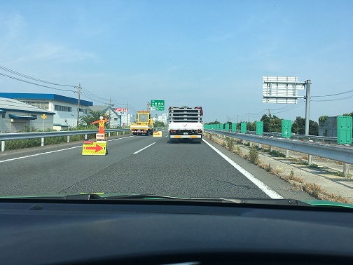 3:33pm road
construction work
3:33pm road
construction work
I arrived home around 4:30pm, a bit tired from all driving and hiking. I went to grocery shopping after taking shower, and relaxed. I had to use air conditioning tonight to sleep.
Cost:
Copyright 2018 - Kosuke Ishikawa / Unauthorized copying of contents, partial or whole, is not permitted.