 Driving to the
airport to pick up a rental car...
Driving to the
airport to pick up a rental car...Introduction: Big Bend National Park is one of the most famed park in Texas. I always wanted to visit but did not get an opportunity. I also studied about
I woke up at 4:00am, it was warm, 65F at outside. Air conditioner at my neighbor's was making squeaky noise, I bet it will breakdown soon and a bad day for the resident. I stretched my body, took a shower, pack up my bags then left home at 5:50am. Driving on foggy Sam Houston Tollway to the airport parking under still dark sky. Arrived at the parking at 6:20am, and I got picked up by a shuttle van to the terminal A in 10 minutes. I then hopped on to another shuttle bus to the rental car center. After getting off the bus at the building, I went downstairs, checked in at the counter of Enterprise Rent-A-Car. They gave me a Chrysler 200S, which does not have XM radio or CD player so I will have a bit of tough time during the week long drive. There were many other cars but I don't know why he gave me this one.
Driving to the
airport to pick up a rental car...
Since I do not want to pay toll, I left the airport and got on a Beltway 8 to west, then took I-45 south to I-610 west, going around the town counterclockwise then finally changed to I-10 west to Eldridge Pkwy. The traffic was not that bad and the sun is already up so it was easy to get home. After coming home, I packed my items, including rice cooker and electric kettle then left home at 8:40am.
 Leaving Houston
with this car
Leaving Houston
with this car
I stopped at Kroger on my way out for ice for the cooler box then get on I-10 west towards San Antonio under cloudy sky. Soon I got so sleepy and had to pull off the car at the first rest stop for a 5 minute nap. Still cloudy but the traffic moves better than any other days of the year, maybe because tomorrow is Christmas. While driving on I-10, I saw several cops on the road pulling bad drivers near Lulling, TX. I made a stop at Buc-ee's at 10:50am, bought a BBQ sandwich and other items before continuing.
 I-10 Cop pulling
someone over
I-10 Cop pulling
someone over
 I-10 another cop pulling
over a car near Lulling
I-10 another cop pulling
over a car near Lulling
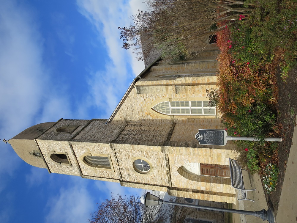
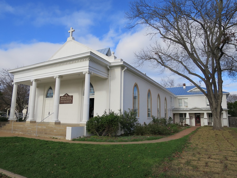
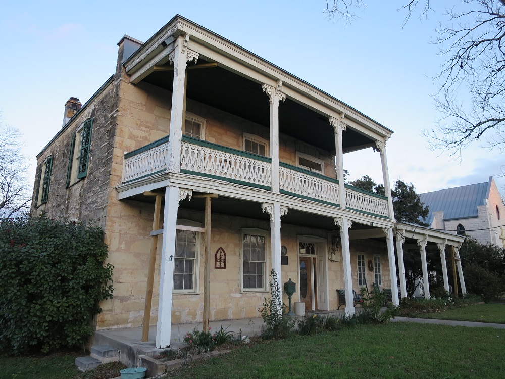
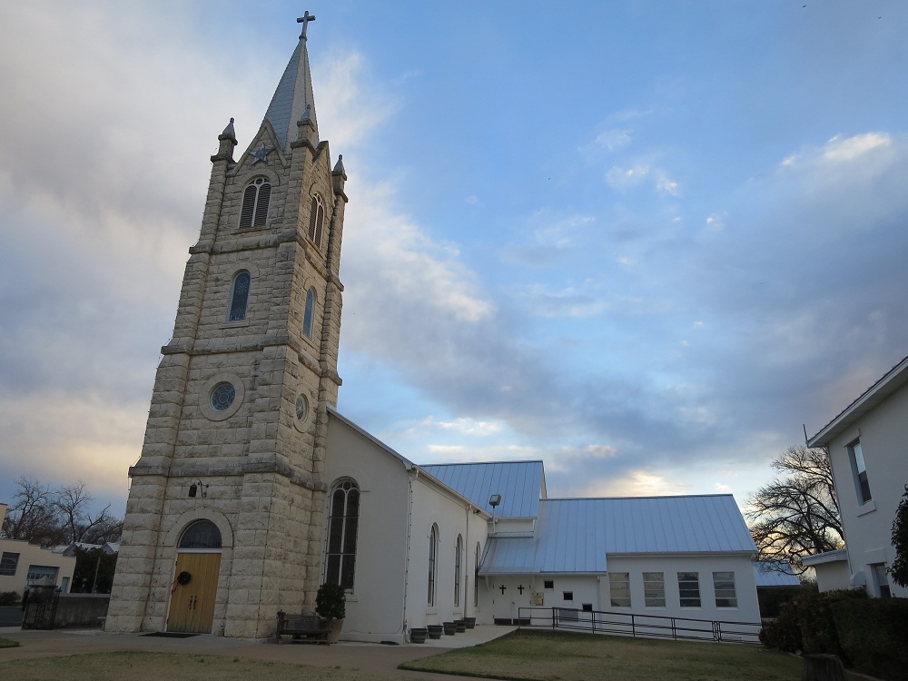
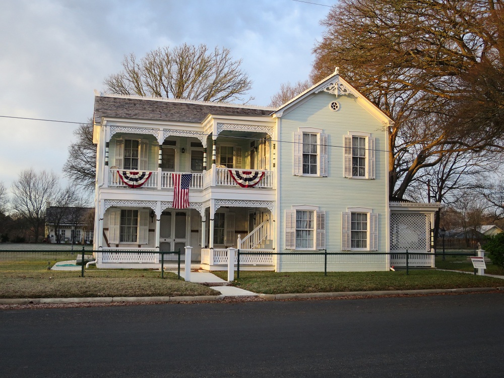
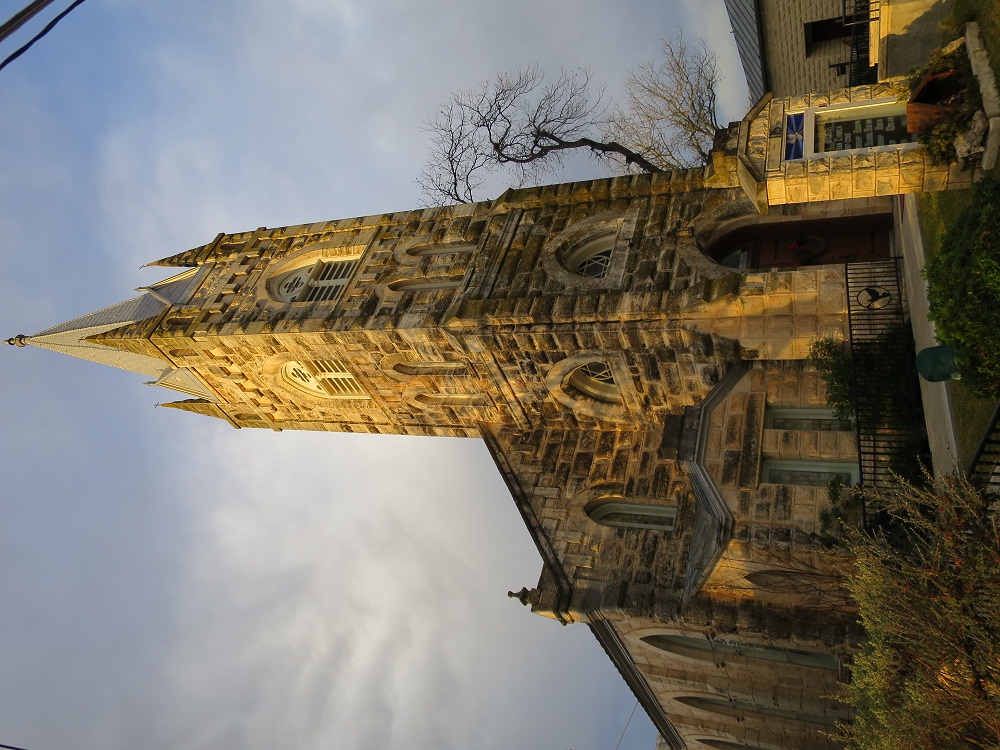
I reached San Antonio around noon, while eating the BBQ sandwich I bought. I changed the road to US-90 west, I made a brief stop at Castrosville, around 12:10pm to take picture of Landmark Inn, then kept moving toward Uvalde.
 |
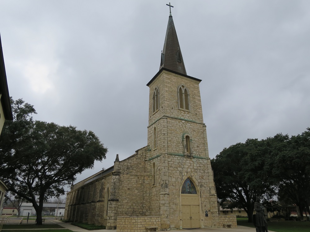 |
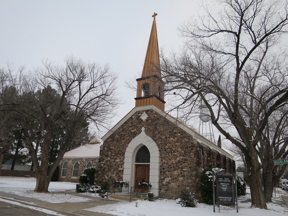
| Landmark Inn | St. Louis Catholic Church |
The road to Uvalde was smooth again, the sky was finally getting cleared out a bit. Reached Uvalde, then headed north by moving up on TX-55. By this time, the weather improved so much and I was driving under clear sky. After a half hour drive, I arrived at Camp Wood around 1:50pm, stopped by at a city park where has a sign of Lindburgh crashing his plane here. I also stopped by at old ruin at 2:00pm, Mission San Lorenzo de la Santa Cruz which was established back in 1762 but abandant later. There are some foundations remain today. Getting back in the car then began driving south but the Nuerces river looked so beautiful and needed make a stop for a picture.
 Nueces
River
Nueces
River

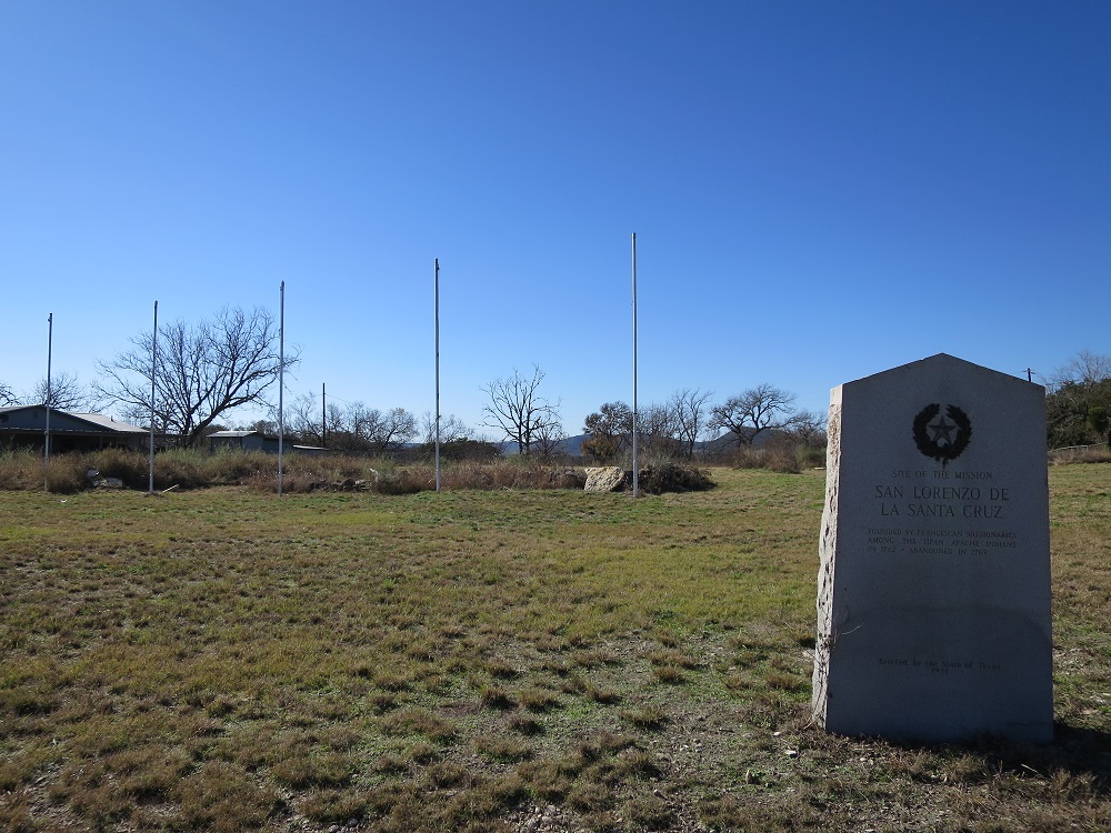 San Lorenzo
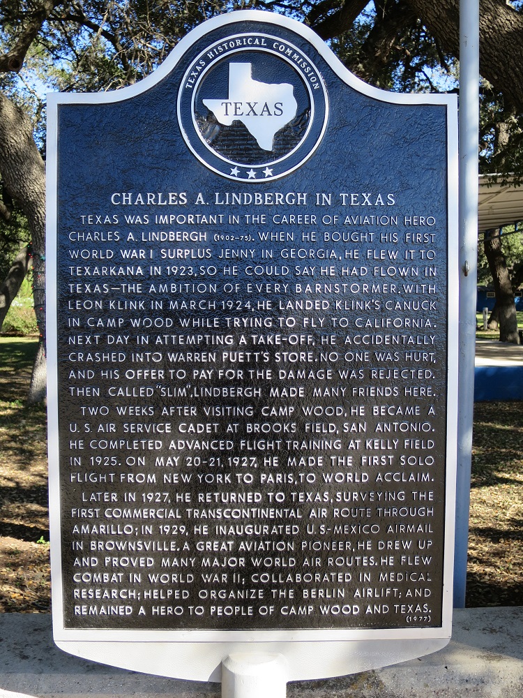 Lindbergh Crash
Drove into Uvalde and continued on south to Crystal City on US-33 south. It was another half hour drive and the road was pretty flat and straight. I arrived at Crystal City just past 3:00pm, checked out the statue of Popeye then the site of former Japanese interment camp during the World War II. The fuel was getting low so before leaving the town, I refilled the gas at local gas station at 3:38pm. drove back to Uvalde.
 Statue of Popeye because it's spinich capital of the world.
 Japanese Interment
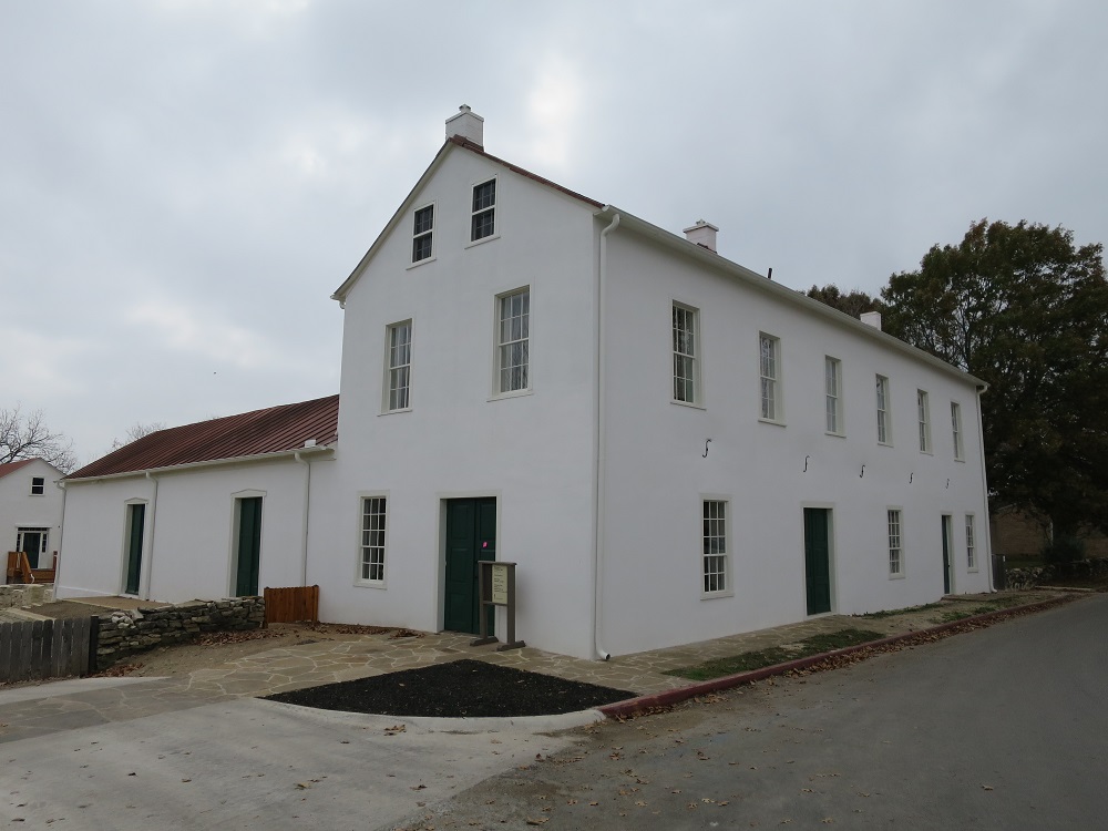
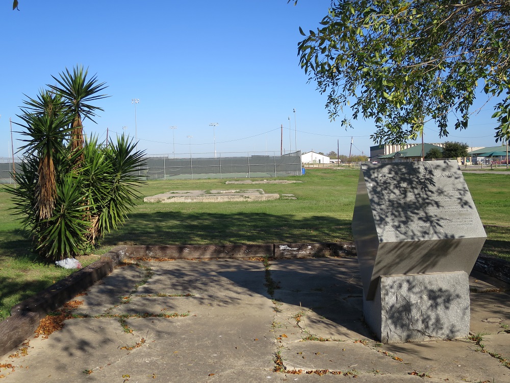
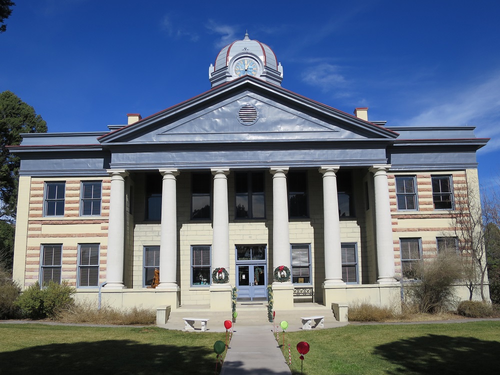
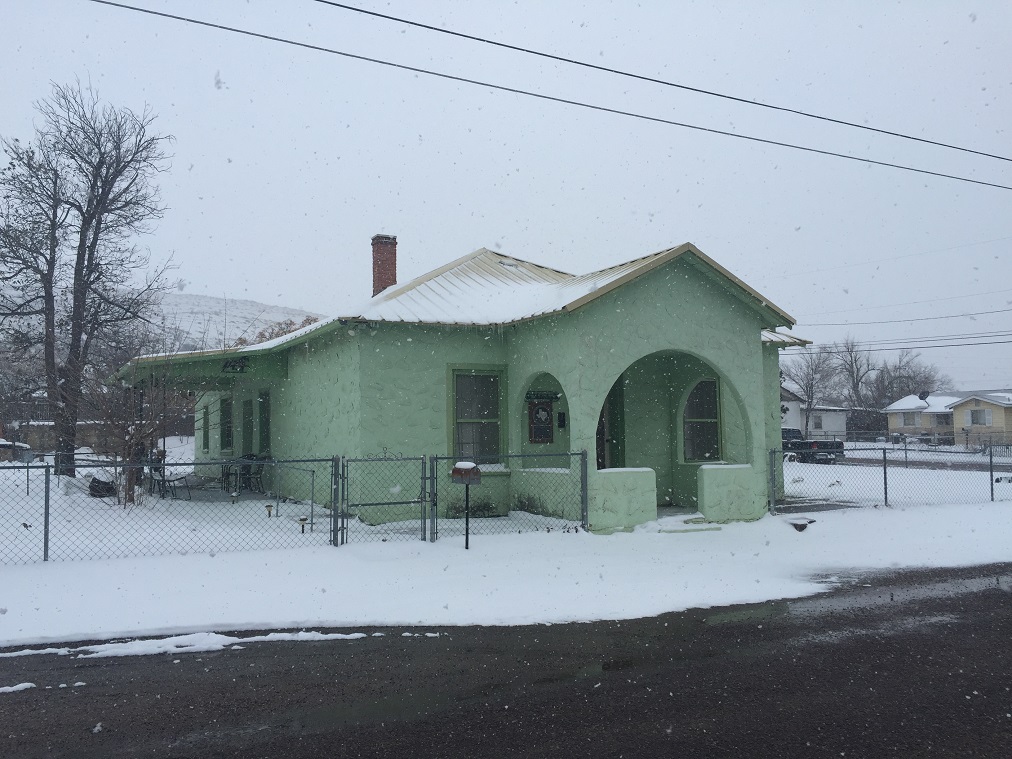
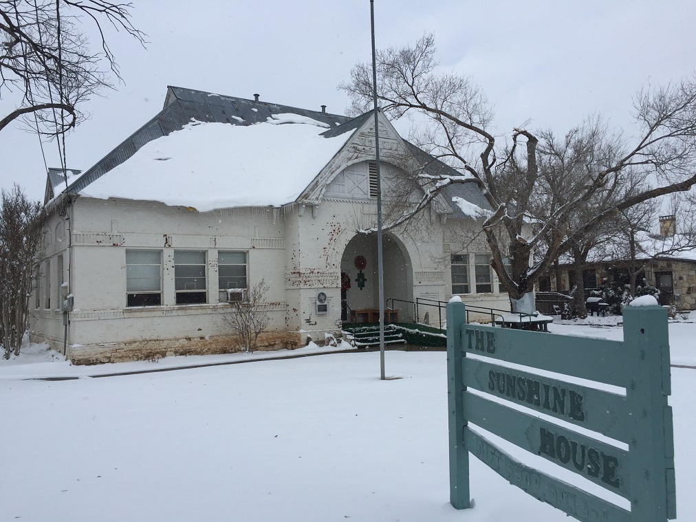
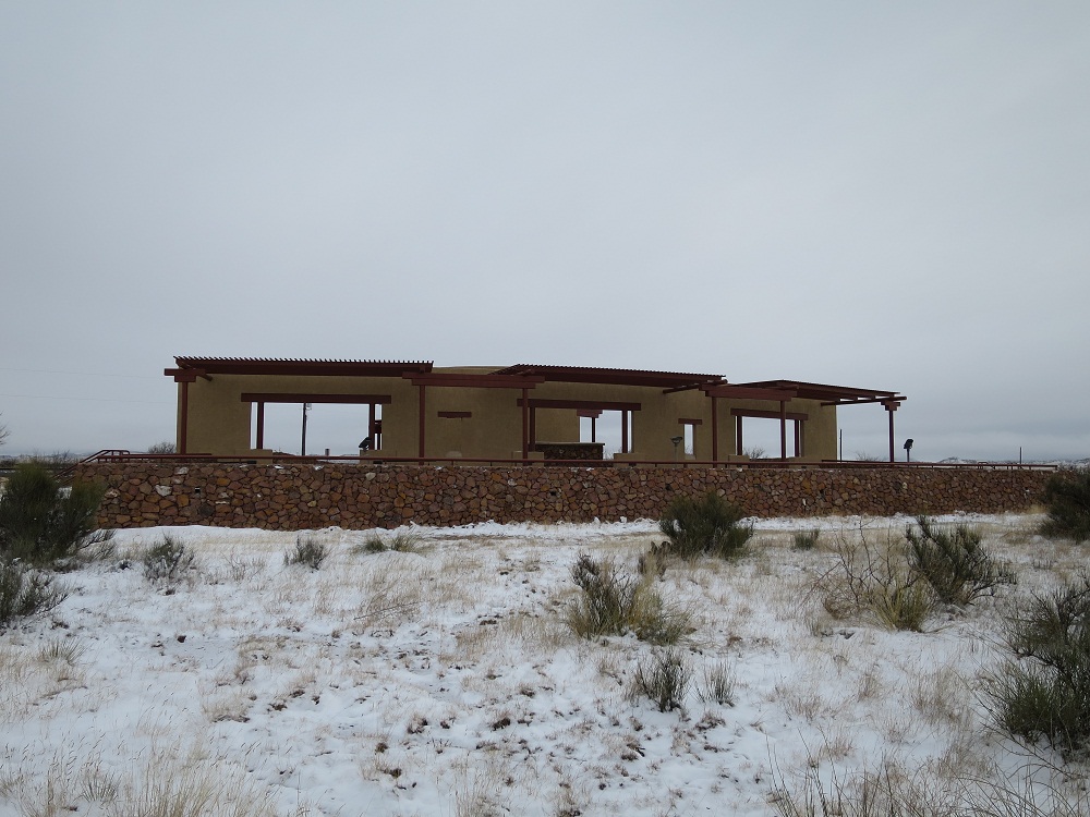
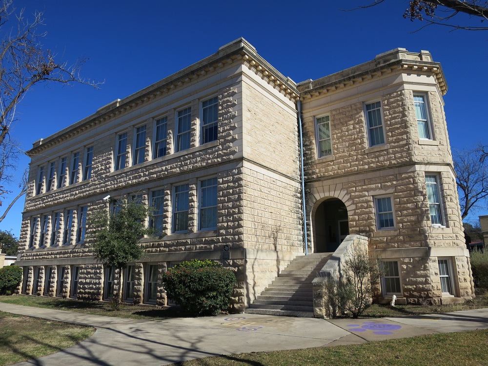
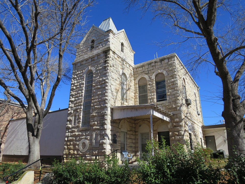
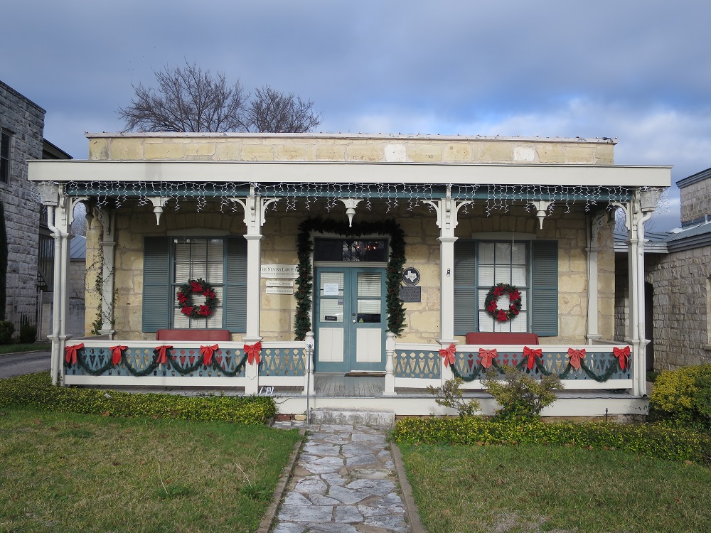
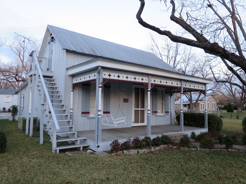
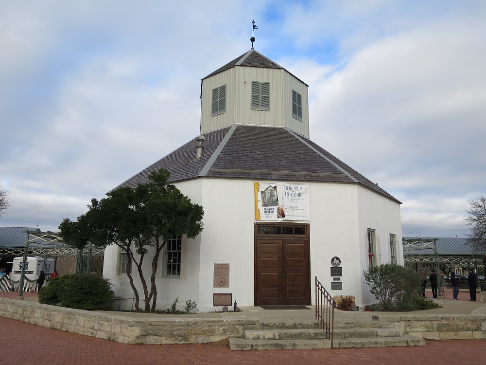
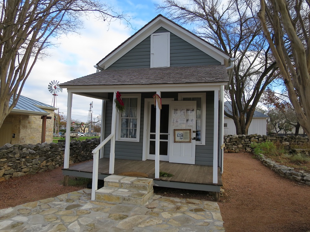
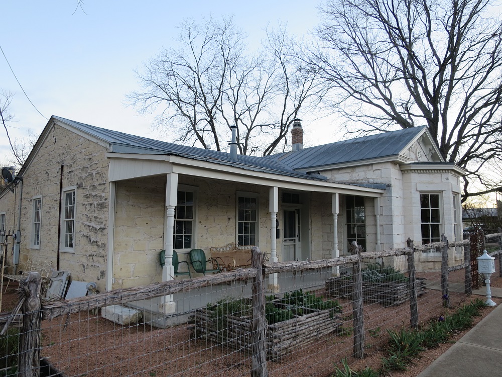
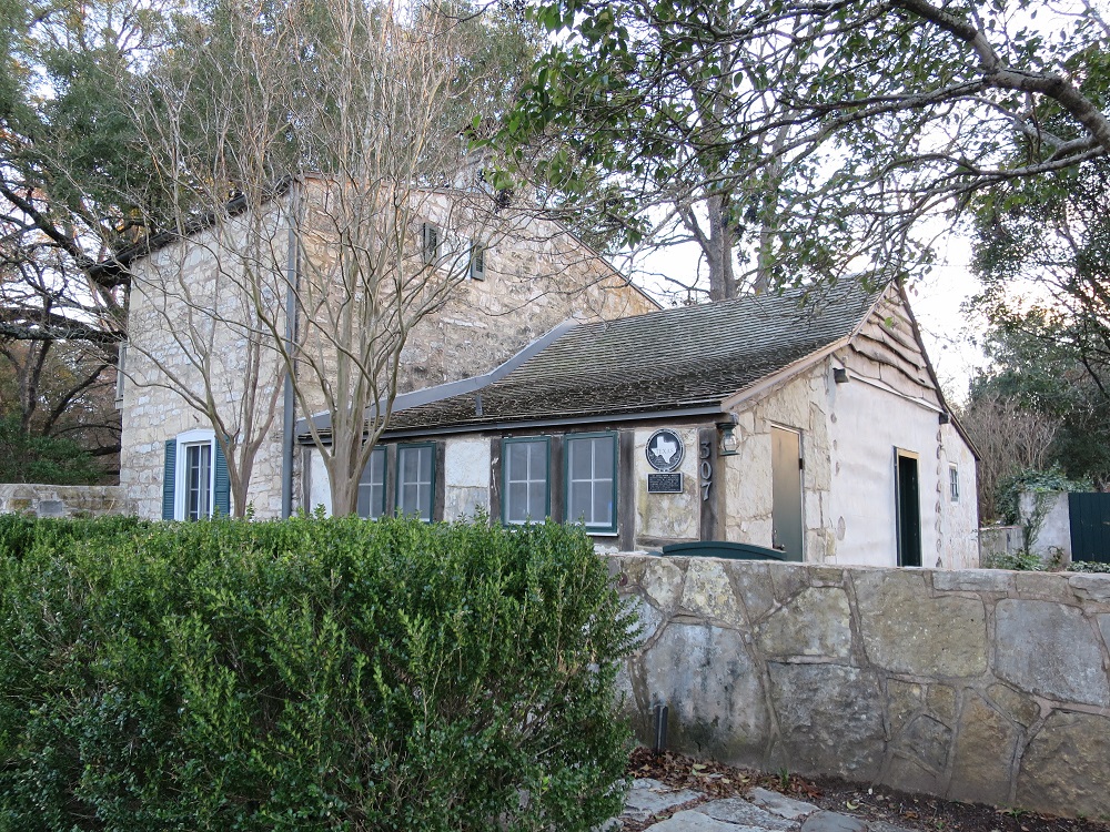
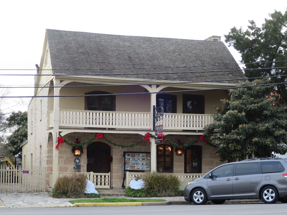
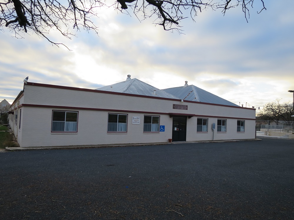
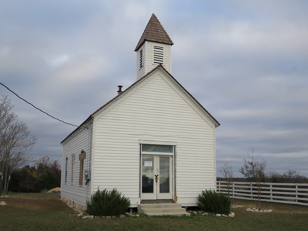
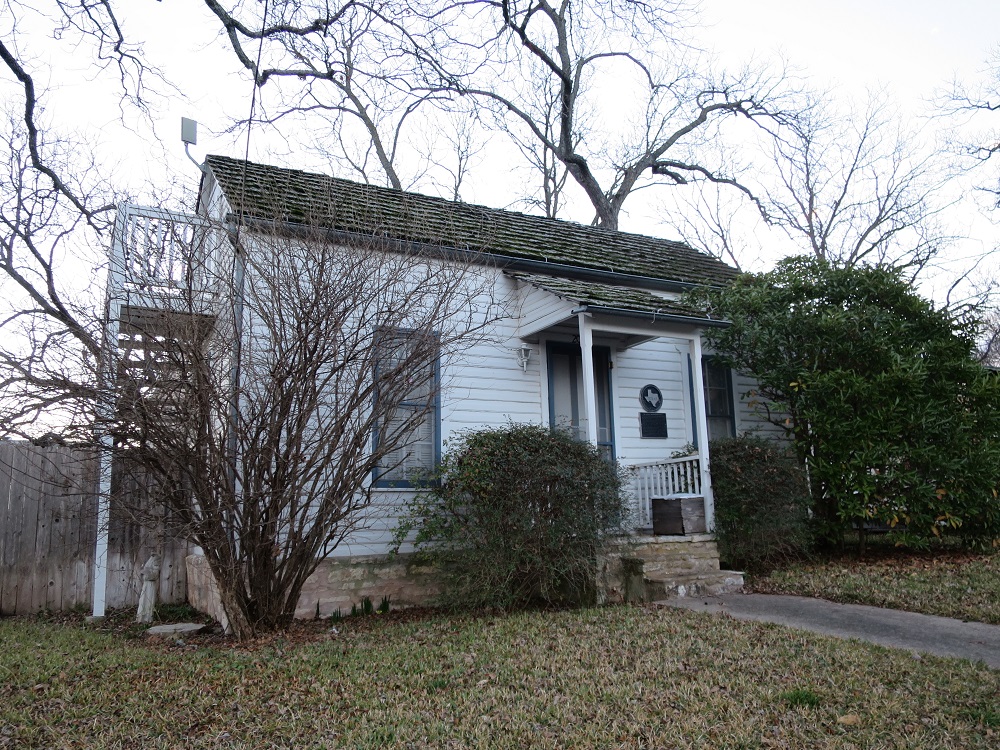
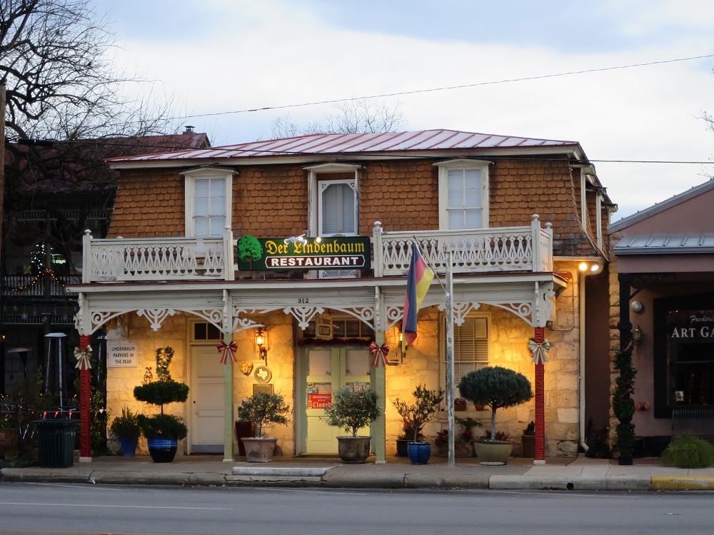
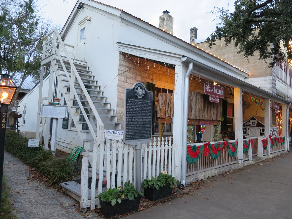
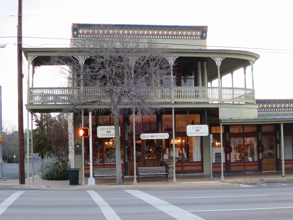
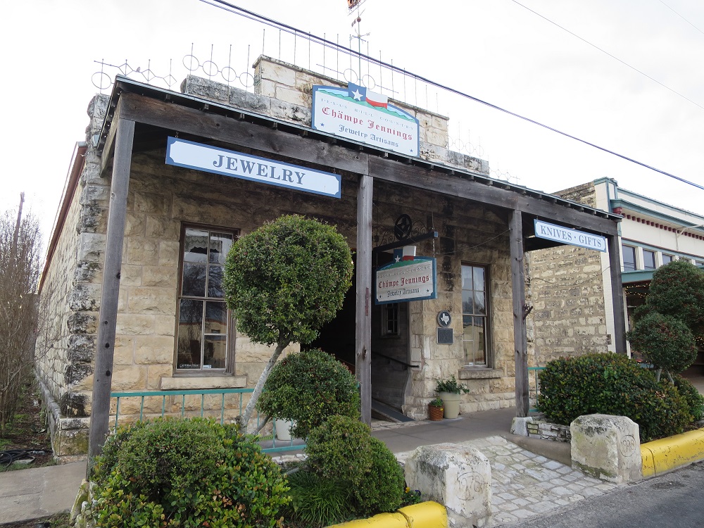
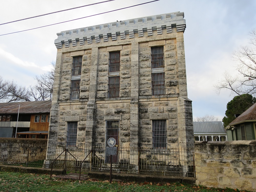
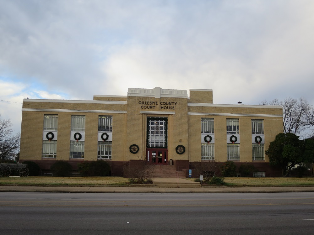
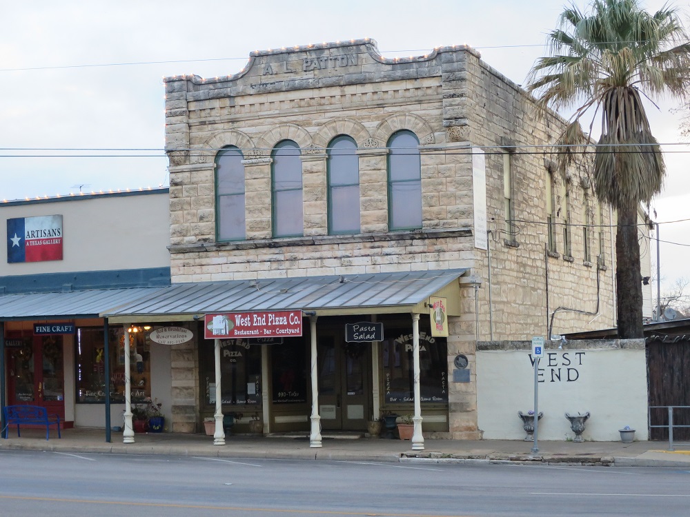
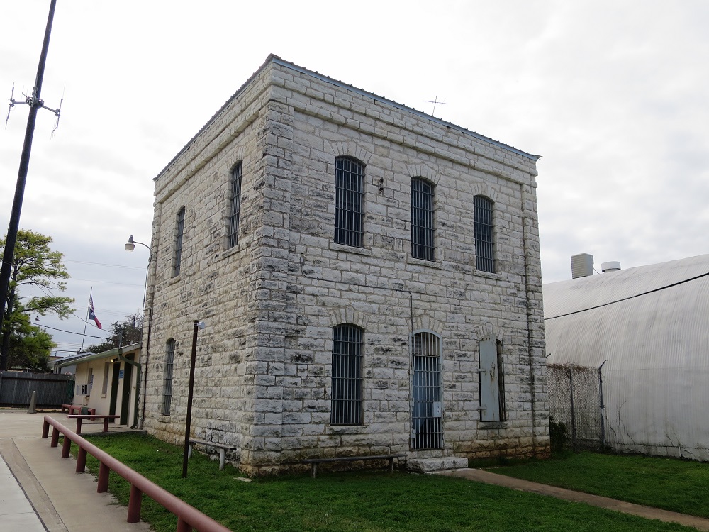
Stopped by at former site of Fort Inge, which is a hill in the middle of plain, on the way back. After arriving at the town, I found a place to park my car and walked around to take pictures of histolical buildings. When I finish, the sky was looking more like evening now, so I decided to head to the hotel, bought chicken nuggets at McDonald's at 5:00pm for dinner then checked in at the hotel. I had some left over riceballs and ate them for the dinner. I can relax now, and it's going to be another long drive tomorrow.
 |
 |
 |
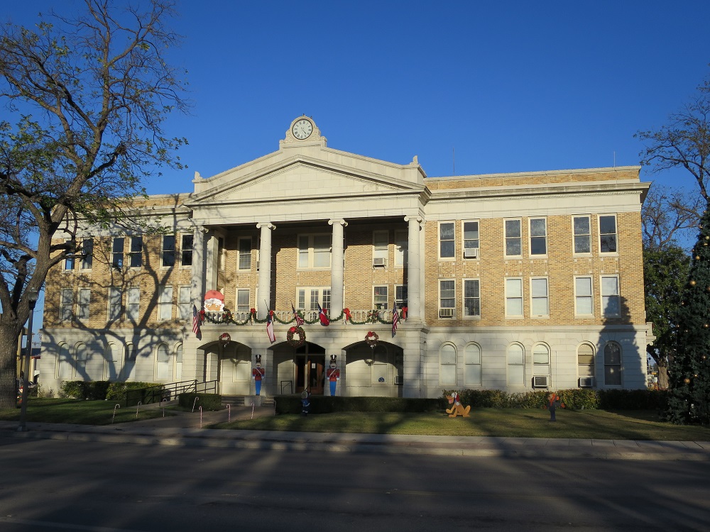
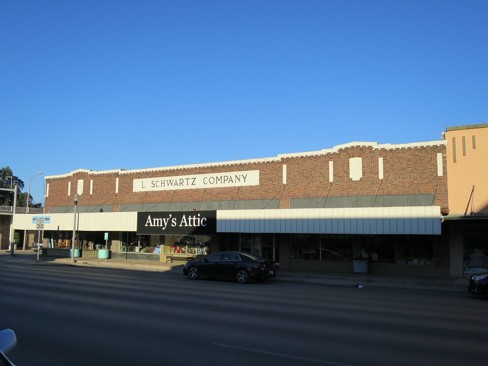
| Uvalde County Courthouse | L Schwartz Company | Rice Hotel and Saddlery |
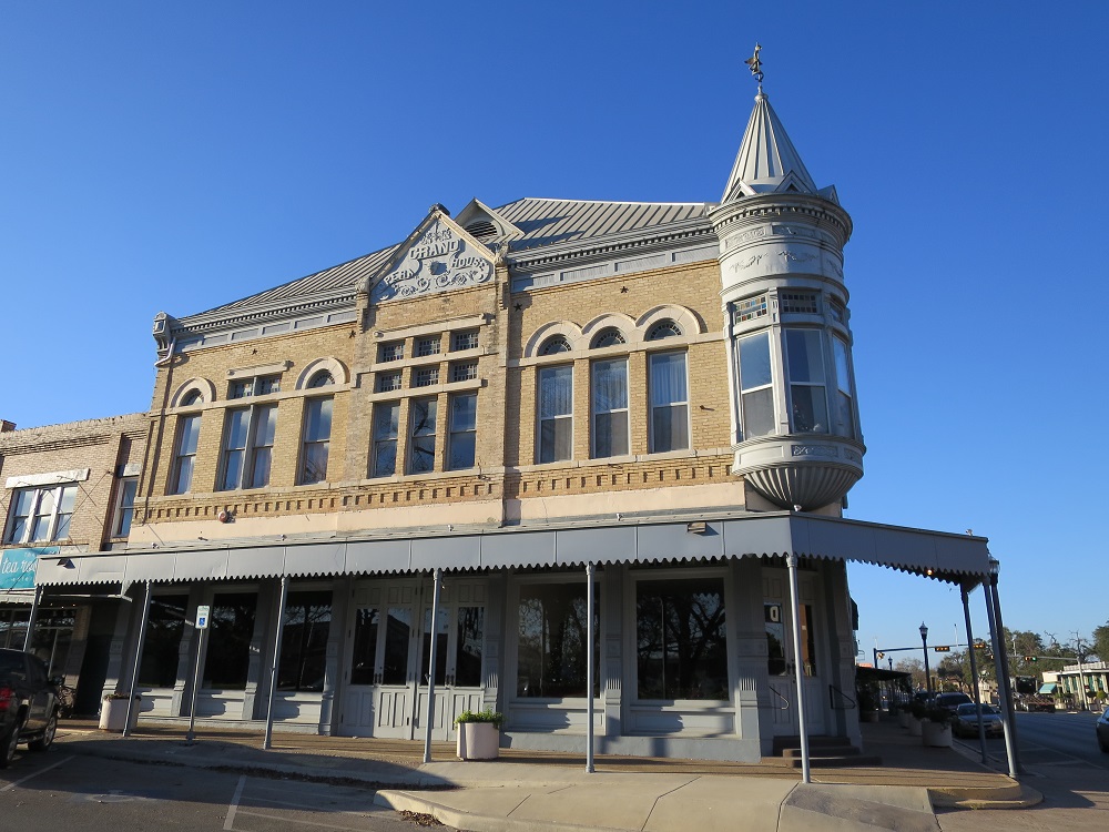 |
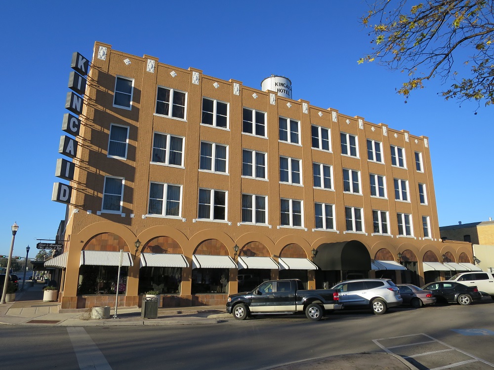 |
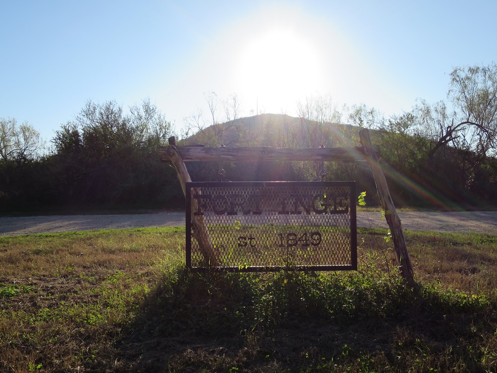 |
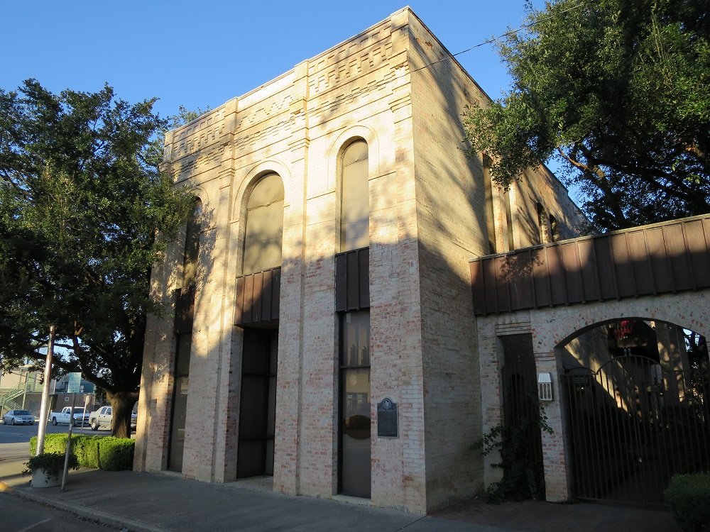
| Grand Opera House | Kincaid Hotel | Fort Inge |
 Check in at the hotel
Going to bed around 10:00pm. Mile driven 464mi, 7:57, 32.8mpg
I woke up at 4:00am, stretched my body and get showered. I checked on the weather and learned that I have to make some adjustments on my schedule because there is snow expected . I will need to stop by Fort Davis today instead of visiting there later this week so I can dodge the big snowstorm. Changed reservations on the hotels I reserved at Fort Davis and had breakfast at the lobby at 6:00am, packed my bags and left the hotel at 7:00am.
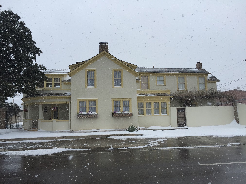
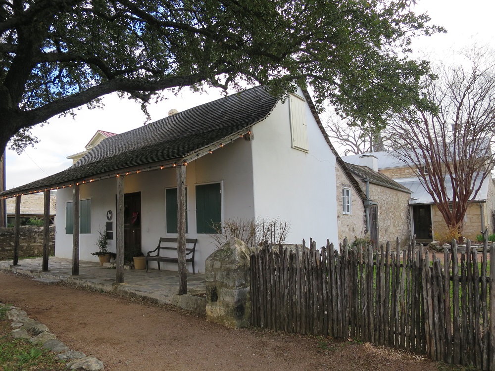
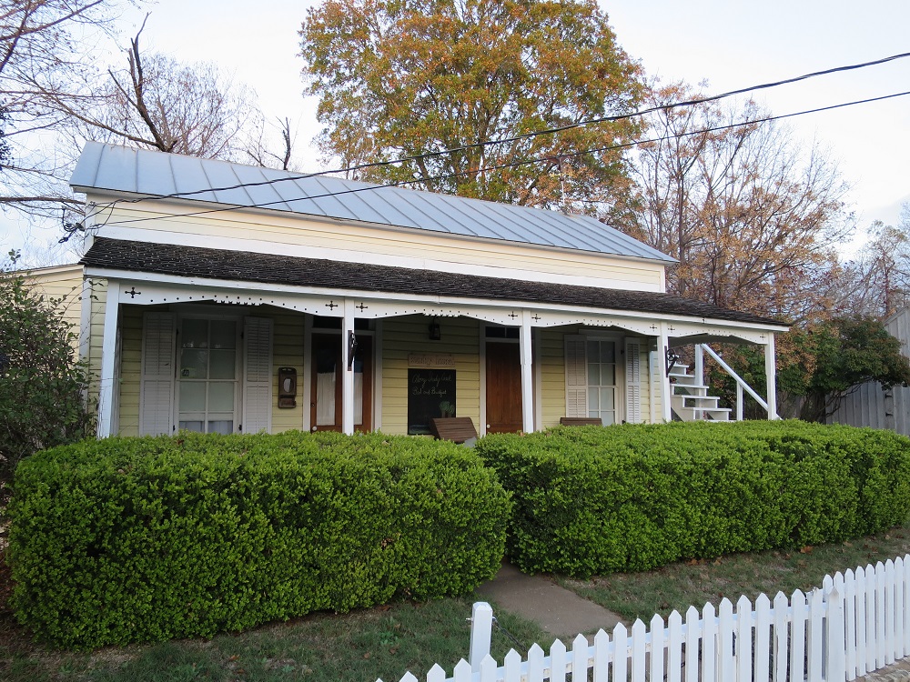
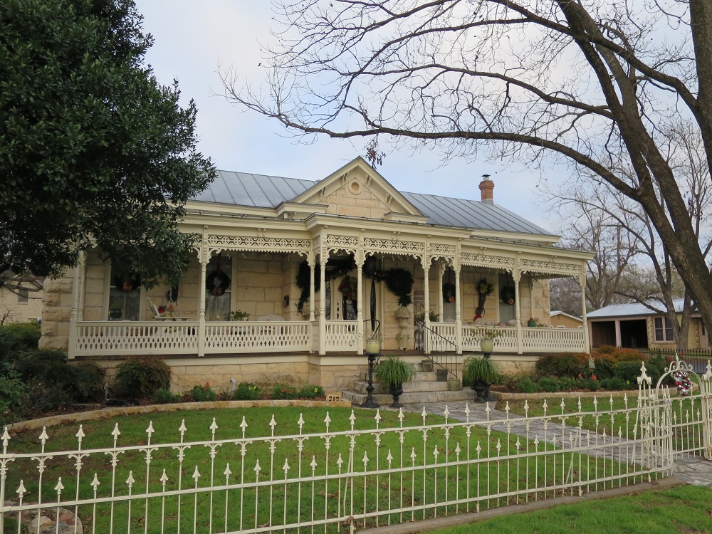
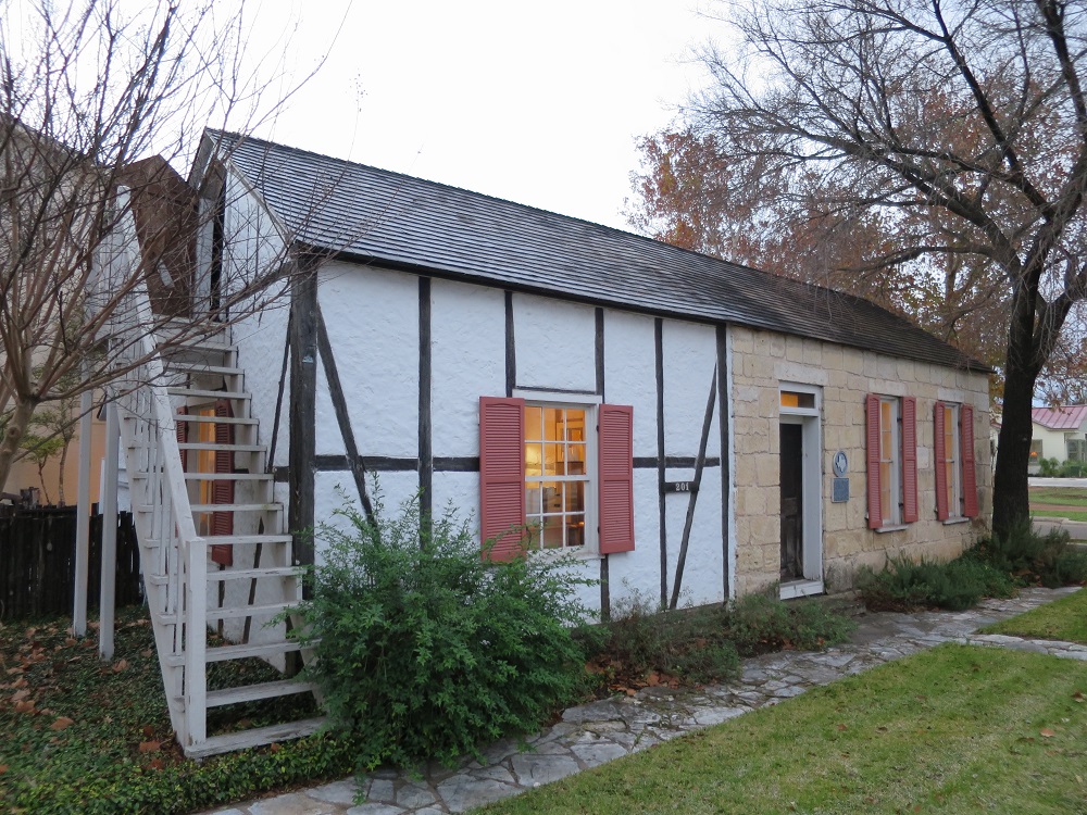
I began driving west on US-90 and soon I got my passport checked at an inspection point just outside the town. While driving on the highway, I ended up making a stop at Brackettville because I saw a sign on the road saying "Fort Clark". Parked the car in front of county courthouse to take a picture, pulled out my iPhone to locate the fort. I found out that the place is now a resort, so I drove to the front gate, paid $5 to enter and parked my car. The place was quiet, and there are people live there. Spent about 30 minutes and left the place around 8:20am.
Fort Clark
 |
 |
 |
 |
| Staff Officers' Quarter | Officers Club | Post Theater | Officer's house |
 |
 |
 |
 |
| Officer's house | Guard house | Commanding Officer's house | Barrack |
 |
 |
||
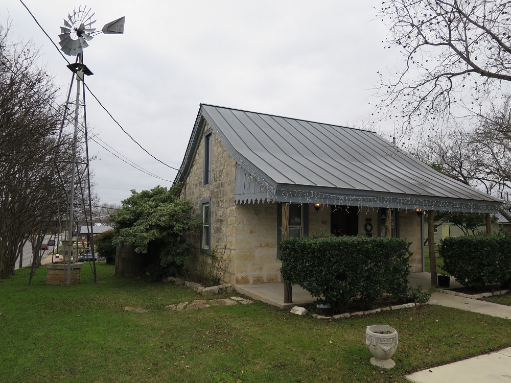
| Antebellum era house |
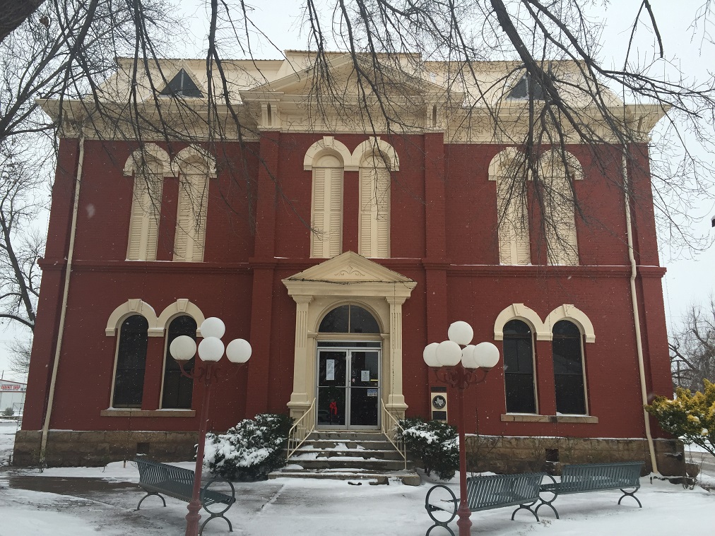
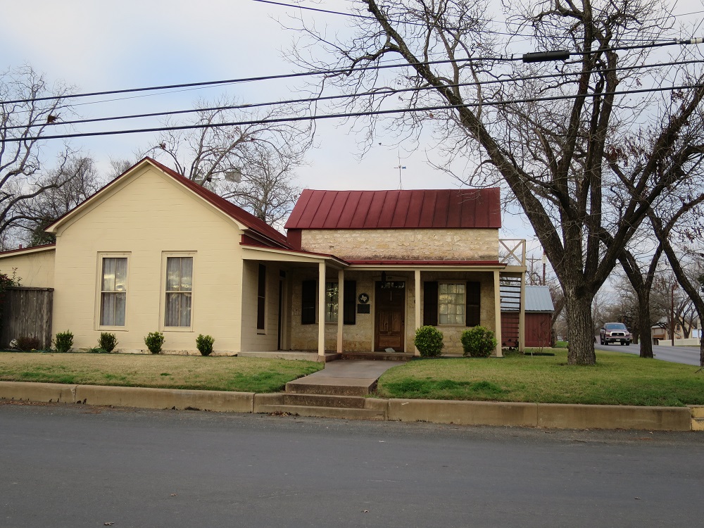
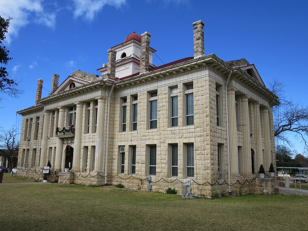
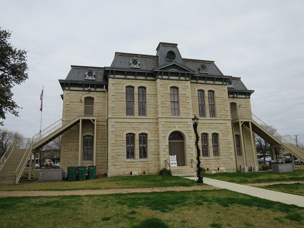
Kinney County Court House 
I guess I have to catch up, so with no further stop, I kept going under cloudy sky. Another passport check at 9:00am, then reached at Pecos River Bridge at 9:20am. There is a viewing spot where I can park my car, although it was cloudy, I can see the wide canyon like river to the north and south. I wonder how did the people in the past cross this place. Another short drive on US-90 to Langtry, the fog get thick sometimes. Turning left to get off from the highway, and the Judge Roy Bean Visitor Center was just a few minutes away. I made a stop at Langtry visitor center at 9:40am to take a picture of "law west of Pecos" building. Since today is a holiday, the location was closed and I could only take picture from the outside. I got back on the road and kept going. The sky was getting clear around 10:00am, and the road is a typical of west Texas, flat and open, while some mountains on the horizon. Reached Alpine, then changed the road to TX-118, the road to Fort Davis was actually packed with windings and up/downs. I was thinking of making a visit in the night and it could be difficult.
 Pecos High Bridge over Pecos River
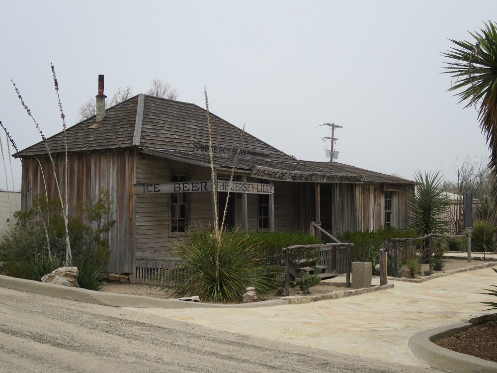 Law west of Pecos
The road becomes flat and arrived at Fort Davis around noon, I needed to fill up gas so I made a stop at a gas station. The store was closed but the self service pump was working. Kept going north a little then stopped at Fort Davis, where is also closed for the holiday so I can only snap some pictures. I kept heading north and drove into Davis Mountain State Park on the way to the McDonald's Oservatory. The road had a lot of twists and turns but generally it is moving upward. Kept going on TX-118 and I can see some dormed telescopes in a distance. Arrived at the highest telescope location around 12:30pm. I met with a couple of people who came here for the same reason. The place was locked so we only get to see things from the outside. Time to go back to the town. I drove downhill while watching the nice scenary of the surrounding. Came back to Fort Davis, took some pictures of historical buildings.

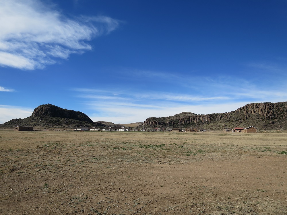
 Fort Davis
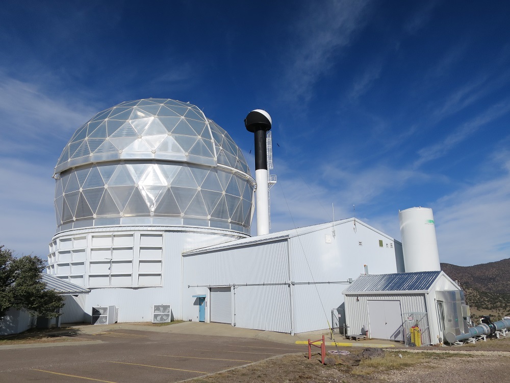 McDonald Observatory
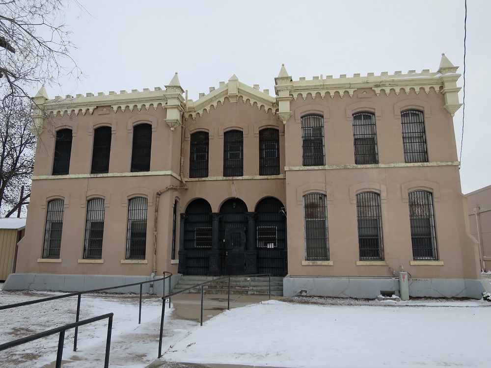
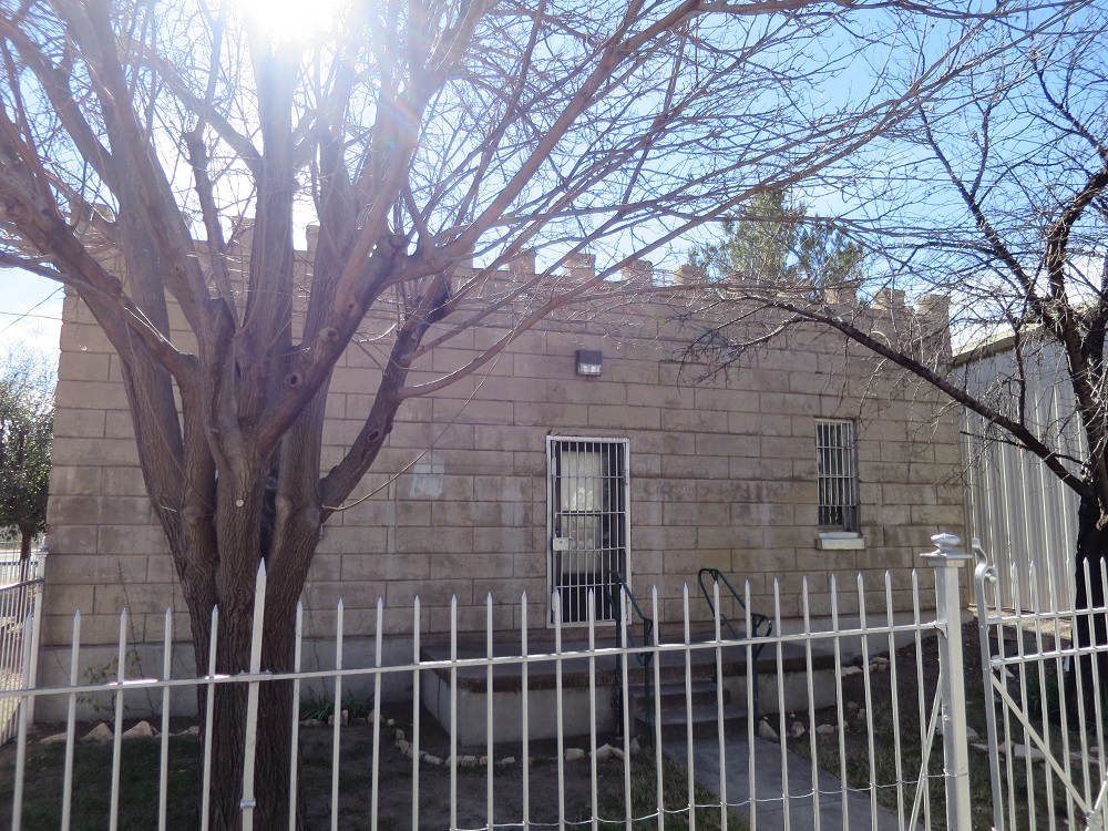 Jail
Jail
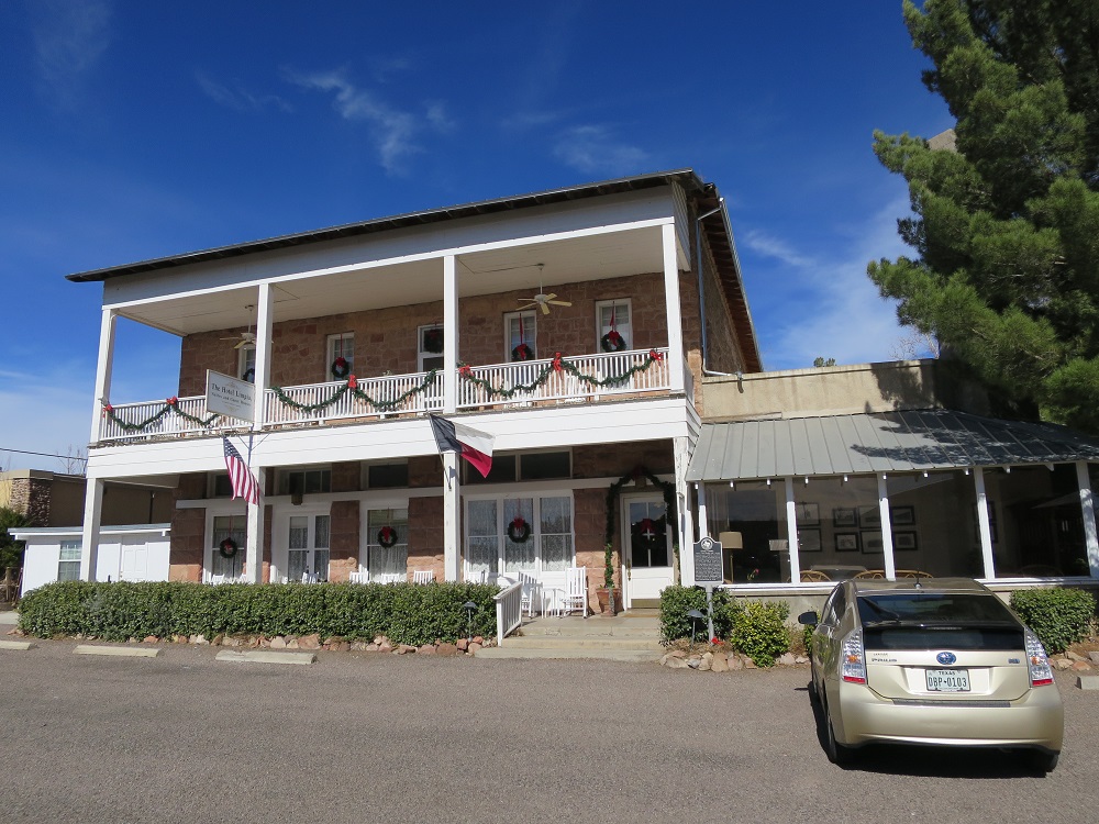 Hotel Limpia
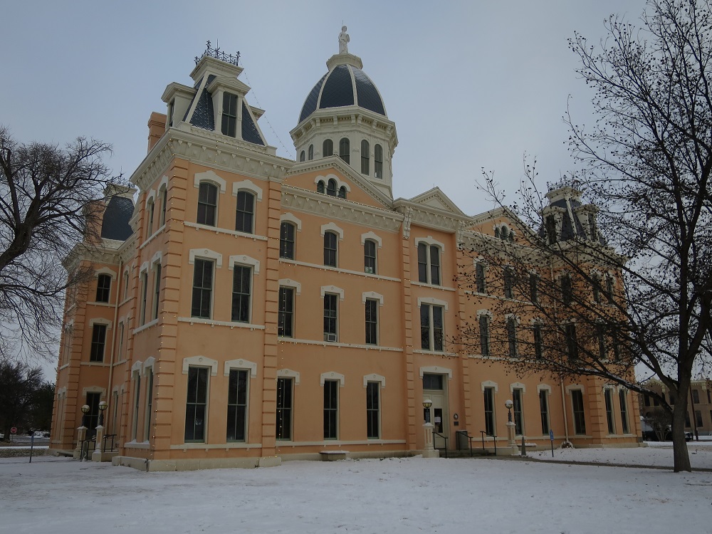
 Courthouse
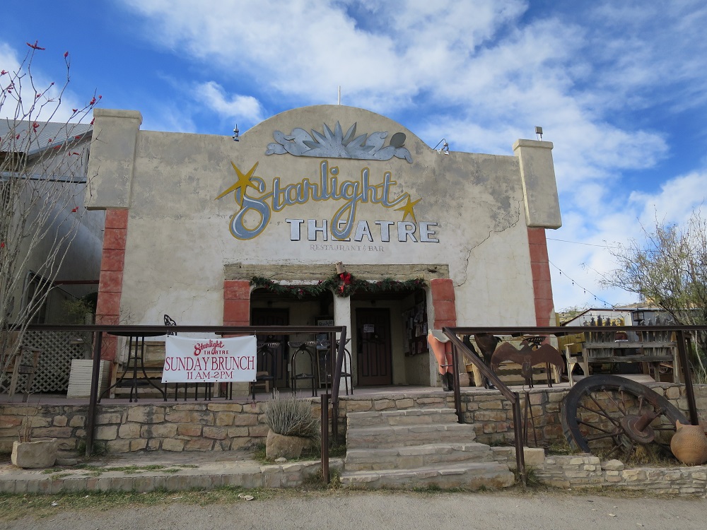
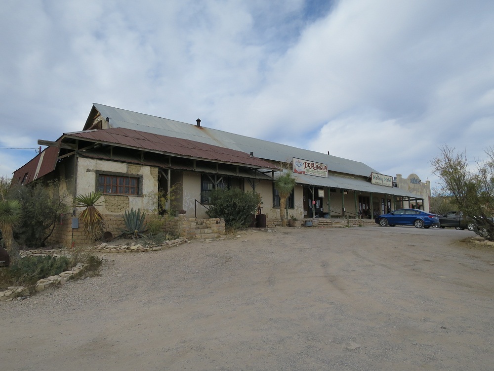
I will be heading to Terlingua but I was not able to find a restroom that I can use, so I have no choice but drive back to Alpine to find one. I made a stop there at gas station in Alpine then I moved on by kept going south on TX-118. This part of the road was more fun than the other since I can see mountains along the road in variety of shape. Passing by Elephant Mountain around 2:00pm, and arrived at Terlingua at 2:30pm.
Elephant Peak 14:03
Santiago Peak 14:18
Park Entrance 14:55

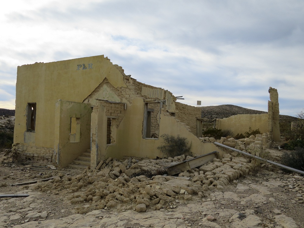
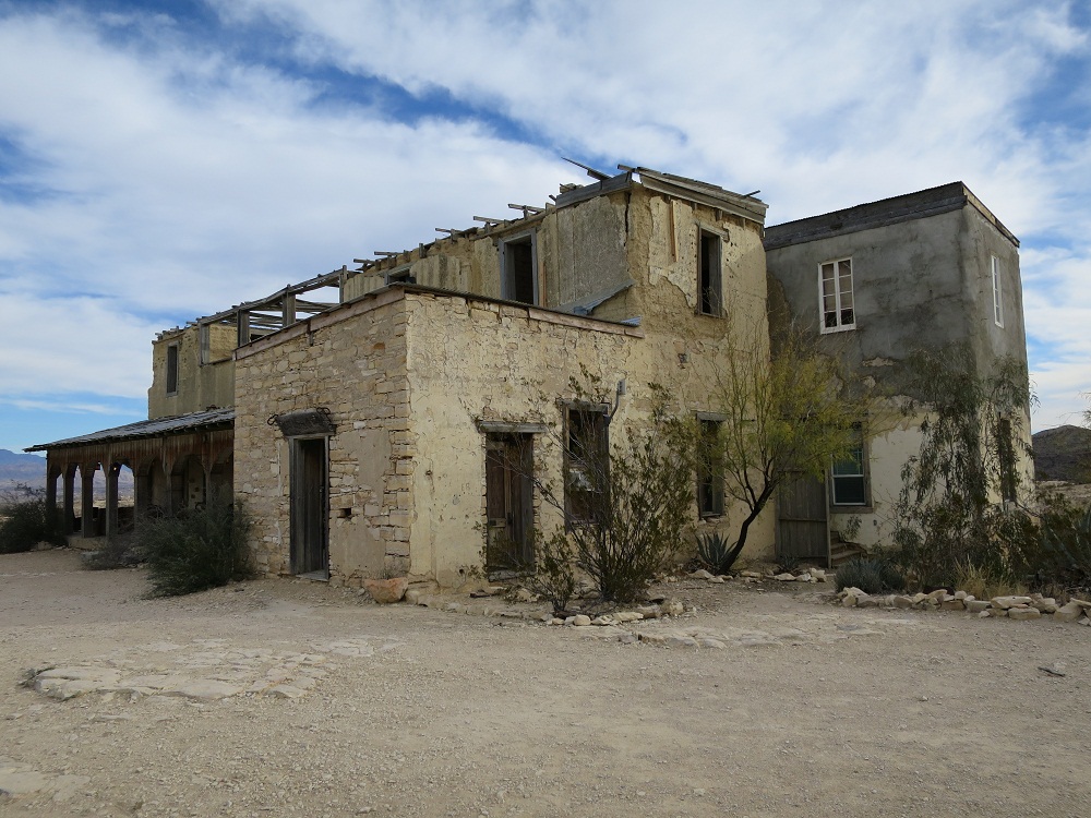
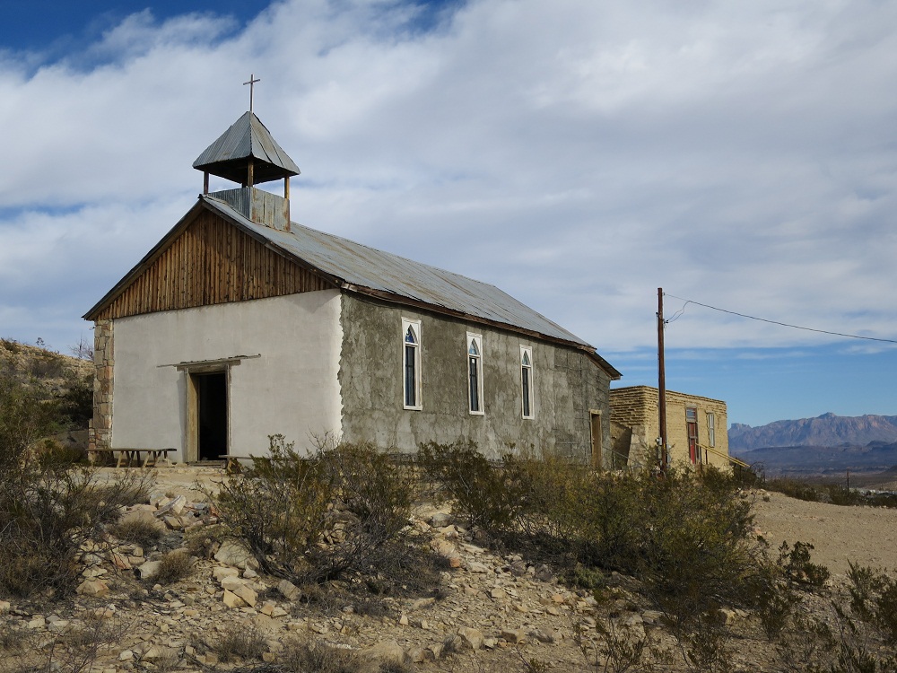
Since I wanted to buy a pass for the car, I drove in to the park but the entrance for Big Bend National Park had nobody. I thought maybe I can buy one at the headquarter, I drove on the road but the office was already closed. There were some people visiting the park, including some need to setup a tent at camp site. Decided to head back to the Terlingua. Made a stop at grocery store, expecting things are more expensive than other places but I guess not. I drove to Chisos Mining area, now a ghost town at 3:30pm, found a parking place and stepped out from the car.
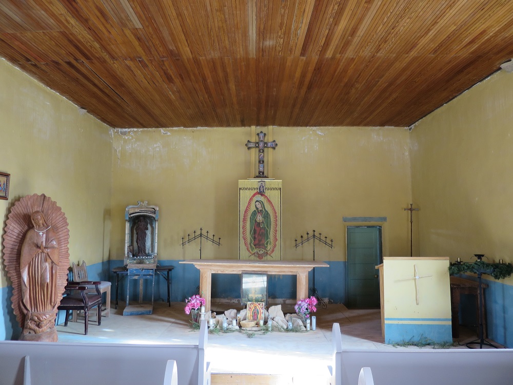
I began walking around the place, there was a church, a mansion, school, theater and grocery store. All of them were left alone when the mine was closed. There are a couple of preserved mine shaft which is covered. Long time ago people come here and work, and people who died here are buried at the cemetery nearby.
 |
 |
 |
 |
 |
 |
 |
 |
| Theater | Grocery store | Former School | Perry Mansion |
 |
 |
 |
 |
| Church | Inside the church | Shaft covered |
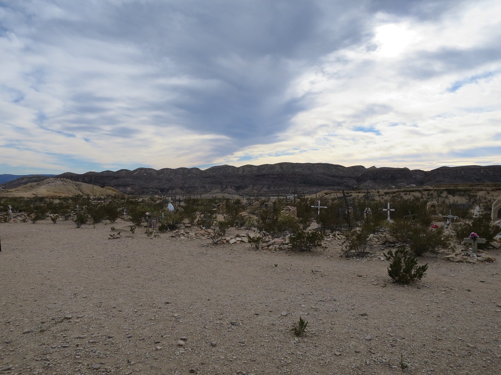 Cemetery
 |
 |
 |
 |
 |
 |
||
 Check in at the hotel
Checked in at the hotel at 5:30pm, given a simple key, and the room was across the street with no wifi. The cell phone only has 3G service in this area so this is a boring place for people who cannot stand the life without the net. I was pretty tired so I went to bed around 9:00pm after finished packing for tomorow.
Miles driven: 967.6, 16:32, 33.9mpg
Woke up at 4:30am and get ready for the day under dark sky. I left hotel at 6:50am with temperature at 50. Crossing into the entrance and drove along the road. Arriving at the parking around 7:30am Began trail walk from 8:15am Reached entrance to Emroy trail at 9:49am Windy, temp dropped at 40 Reached summit at 10:43am Came down at 11:30am Going up dry creek South Rim at 12:45pm, Had lunch at south rim Began walking along the rim, under gusty conditions Began descending toward the village Met a Japanese family

Pinnacles Trail


Emroy Trail


SouthRim Trail


Lagna Trail


 Back
at Lodge
Back
at Lodge
Back to parking around 4:00pm and checked in at the hotel. Made noodles and ate orange Relaxed until ?pm Stepped out at 6:40pm Had dinner Picture time around 8:30pm Went to bed around 9:30pm
 Check in at the hotel 4:37pm
 4:55pm Snacking
 First warm dinner in a while 7:00pm
Stepped out in the night to watch the sky


Woke up at 5:00am Left hotel room around 7:30am Checked with the front, being told that the snow need to stop before they can prowl, sand then lead us out to Marathon. Decided to take a walk for about 2 hours.
 Pulling
my snow weather gear
Pulling
my snow weather gear
Window View Trail (7:50AM?)


Basin Loop Trail (8:50AM?)


Come back, checked for the update. Back in my room around 10:00am. I have nothing to do... I had lunch Got knock at the door at 1:40pm Road is opening at 2:15pm. I packed my bags and throw them in the car and headed out before another wave of snow comes and close the road again. Following a

 Lunch, power outage menu today
 Following a pickup truck leaving the park
 straight
road to marathon
straight
road to marathon
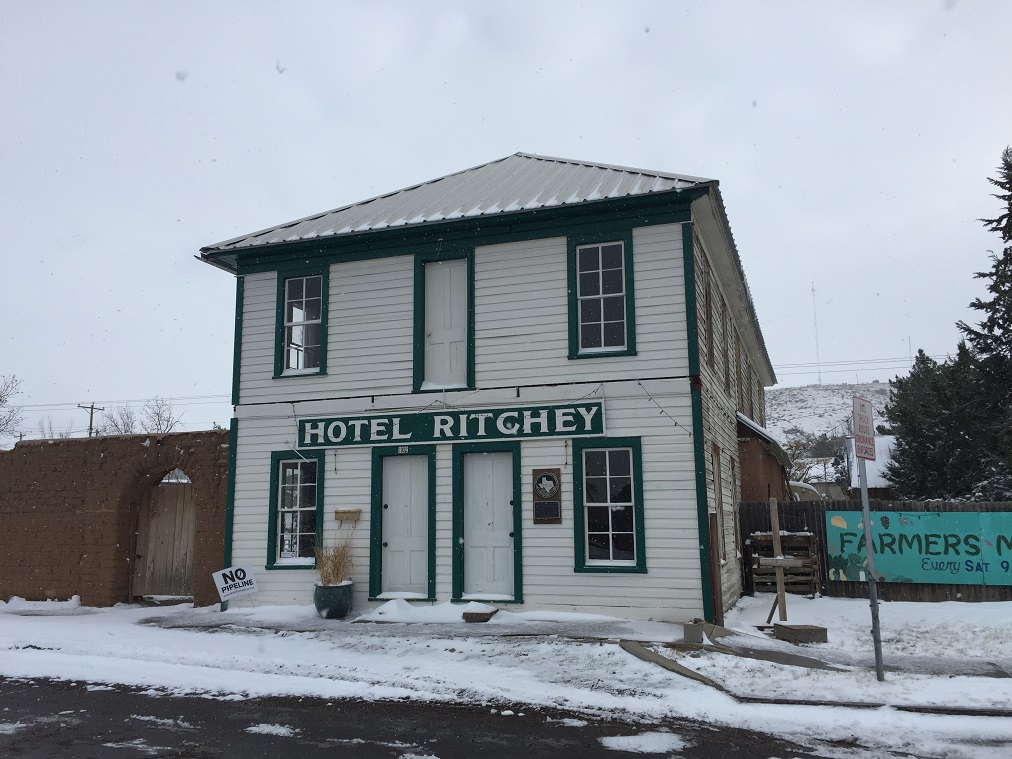
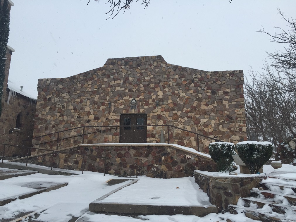
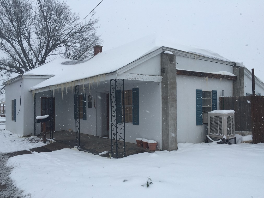
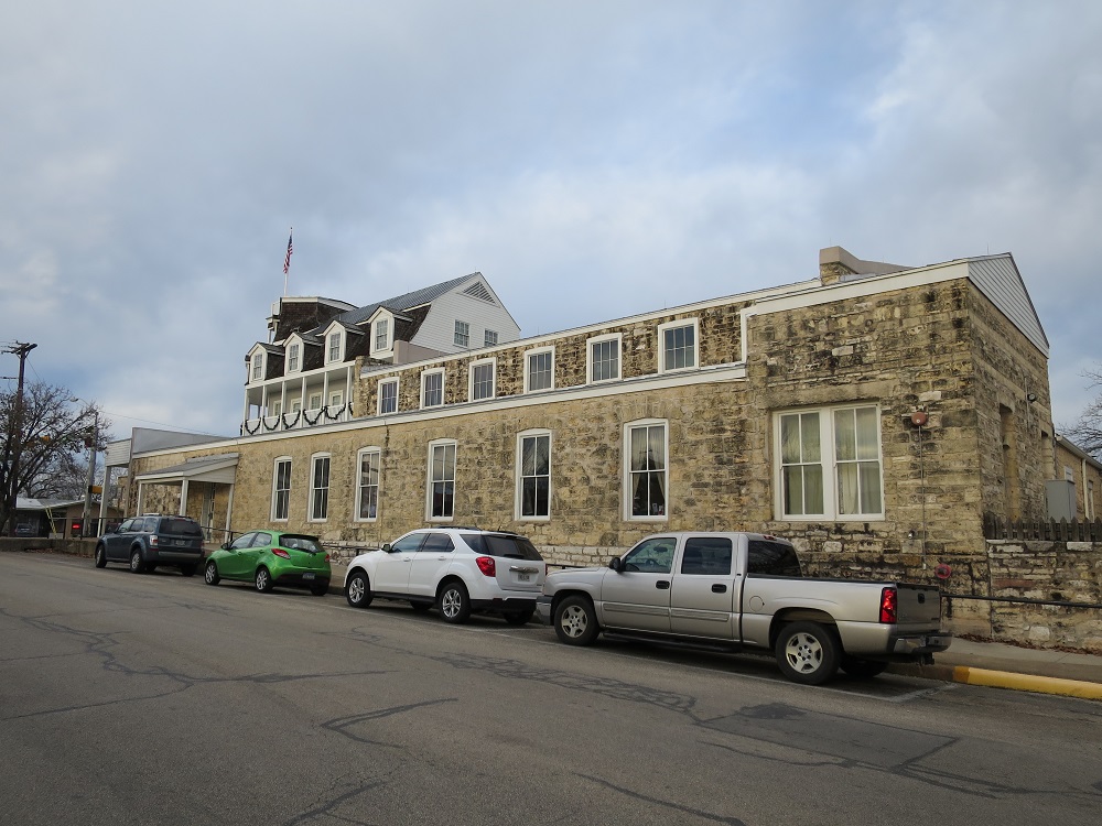
3:30pm passport Arrived at Marathon The road toward Alpine was covered with snow, slippery and some whiteout. Arrived at Alpine, began stopping by Historical Locations. Ate dinner around 5:00pm at a Chinese buffet at downtown, then drove out from the town to west, fueled the car and finally checked in at the hotel around 6:00pm Temperature in 20s,
 |
 |
 |
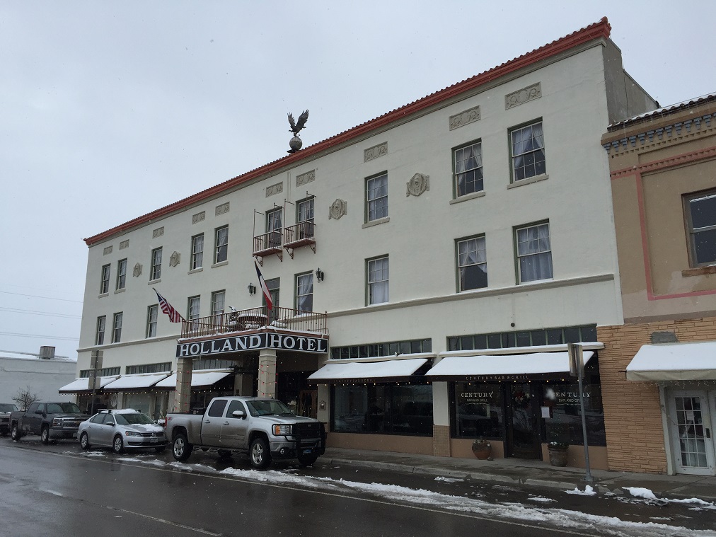 |
| Ritchey Hotel | Our Lady of Peace | J. C. Carr | Holland Hotel |
 |
 |
 |
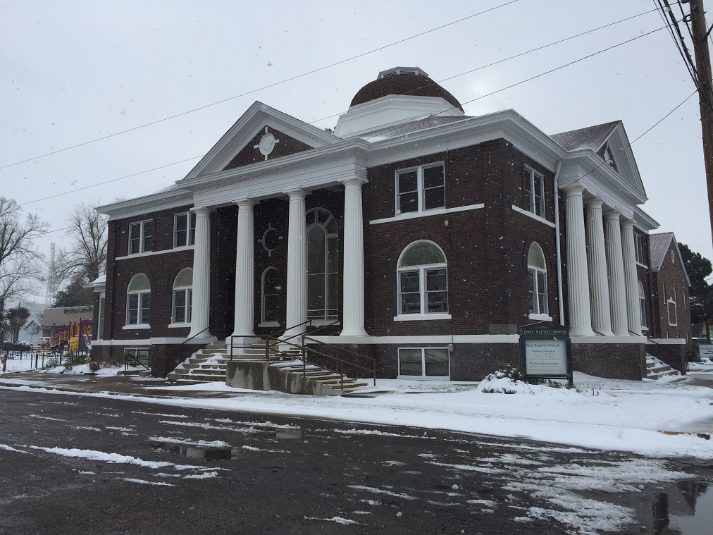 |
| Garcia | Gage-Van | First Methodist Church | First Baptest Church |
 |
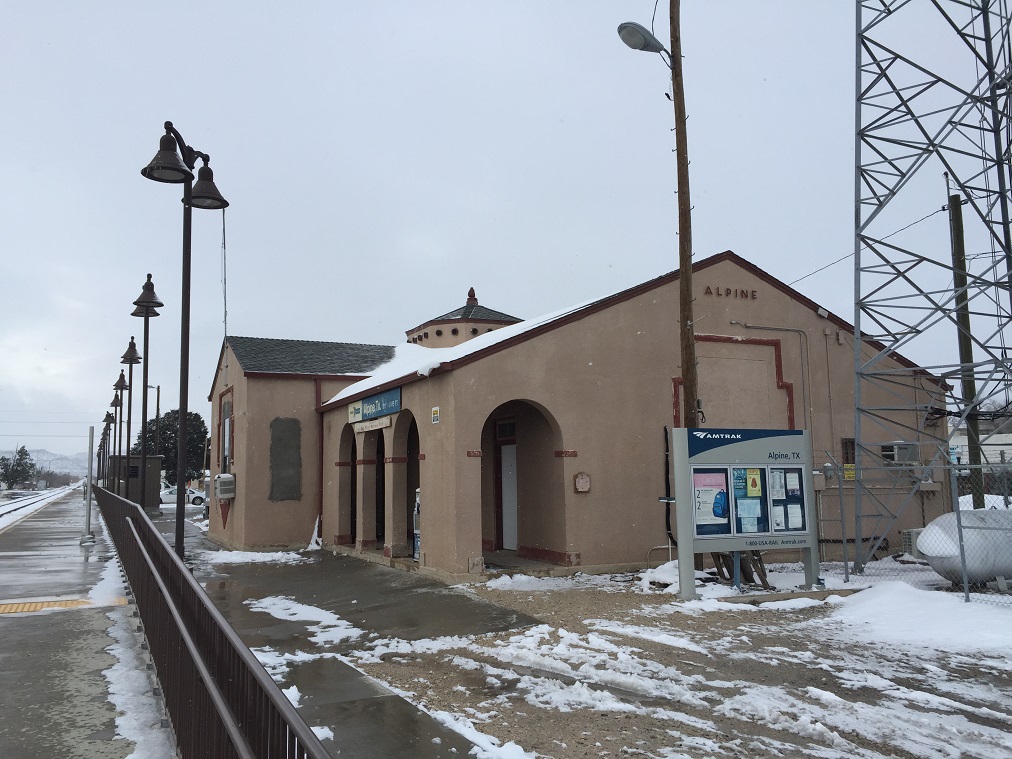 |
||
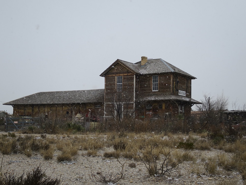
| Brewster County Courthouse | Alpine Amtrak Depot |
 A quick dinner at
Chinese buffet 4:53pm
A quick dinner at
Chinese buffet 4:53pm
 Safely checked in at
hotel 5:35pm
Safely checked in at
hotel 5:35pm
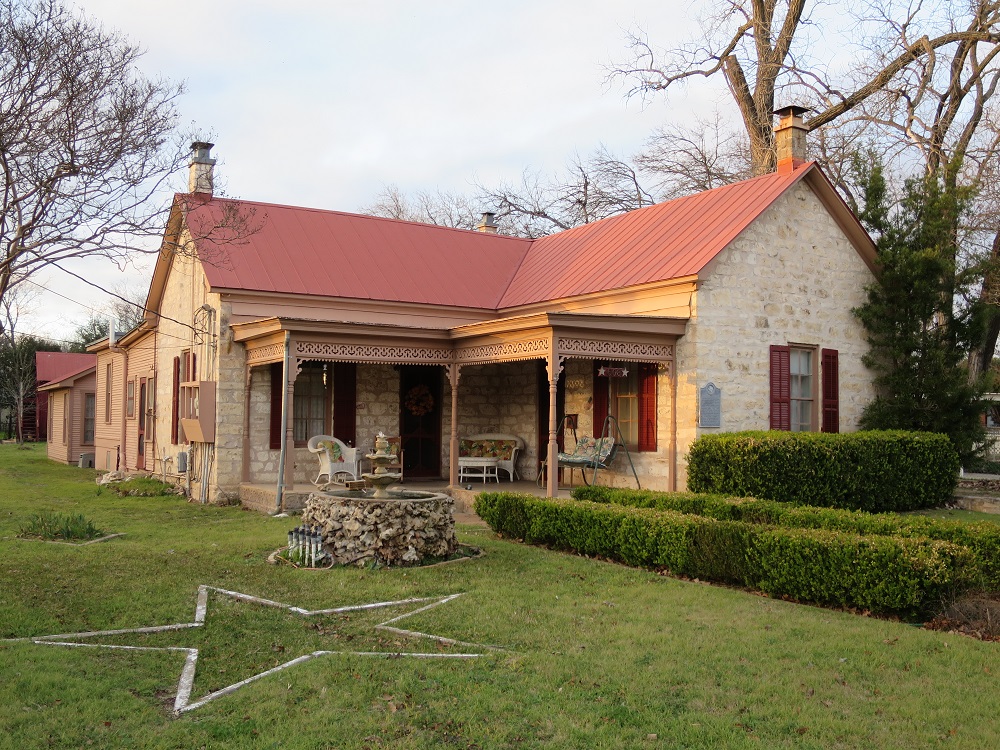
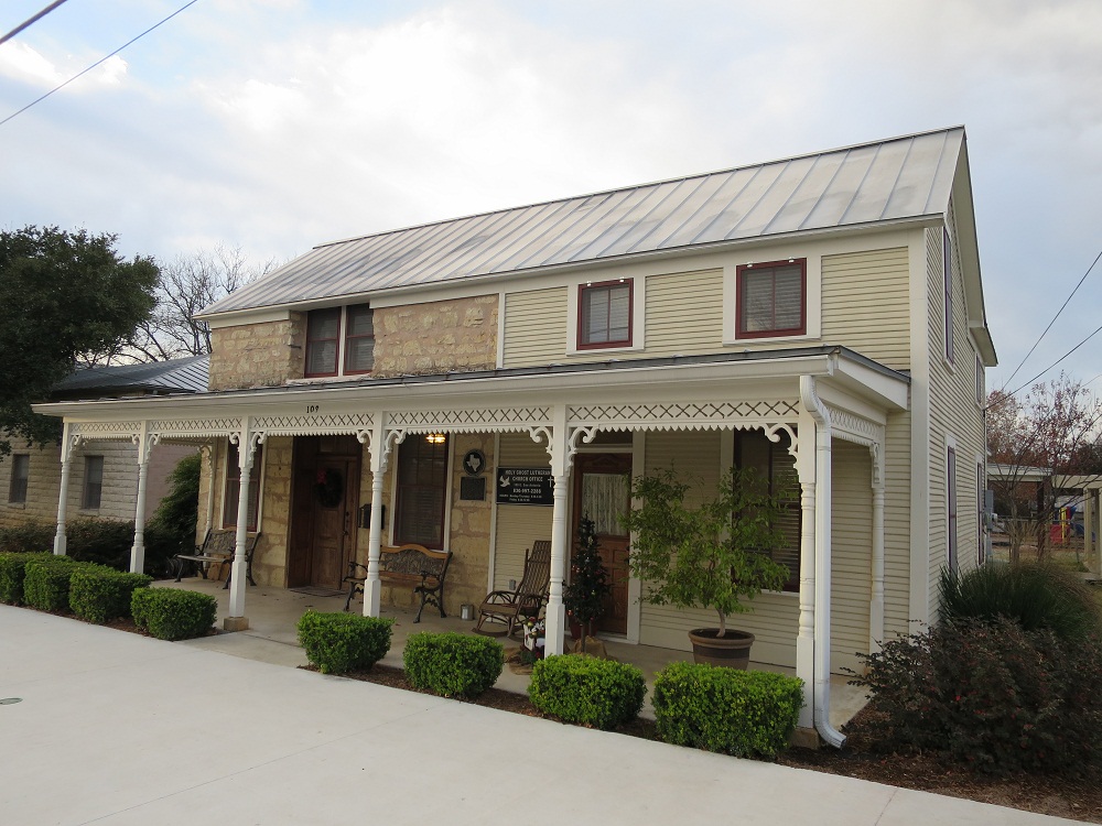
I woke up at 5:00am, the temperature is around 30F but no more snow I can see from the hotel window under dark sky. Turned on TV to check the road conditions but the nearest TV station reporting is at Odessa. The situation is pretty bad, a lot of snow related problems across western Texas, and where I-10 and I-20 are merging west of here reporting of people stuck there over night. I will be using I-10 to Fredericksburg in the afternoon so I need to monitor the situation. The TV repeatly showing the clips from yesterday and no more updates, since I cannot get the up to date information, I checked the TXDOT site, this was a better choice. US-90 west, the road to Marfa indicates some snow at point but open, and US-67 is closed meaning that I cannot go to I-10 from Alpine and need to drive east to Marahon and use US-385 north to Fort Stockton. The daily high for today is expected to be above 40F, so the road should not be kept frozen. After considering those factors, the plan is set for the day, I will try to go to Marfa, then move to Fredericksburg. I had breakfast, took shower and get ready for the day.

I stepped out around 8:00am from the hotel after loading items and began driving on US-90 toward west. There were very few traffic, and some snow left on the road causing me to drive slow. Instead of 70mph, I was going around 50mph. The later half of the trip, the road becames snow/ice free as I approached Marfa, allowing me to go 70mph.I began to see some buildings in a distance, and the posted speed limit became lower and lower. Not much notable buildings around at downtown part. Parked the car by Marfa's El Paisano Hotel at 8:40am, still pretty cold and no sign of people around. There are, still some people near central square of the city playing with the snow. I took pictures of historical buildings, moved to near Chinati Foundation to take a few more.
 |
 |
 |
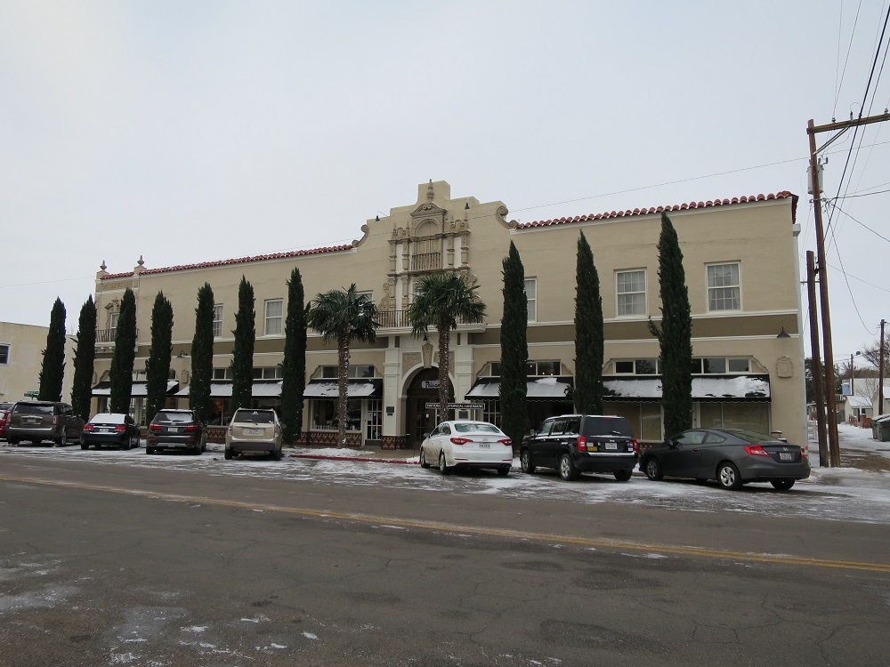 |
| St. Paul's Episcopal Church | Jail? | Presidio County Courthouse | El Paisano Hote |
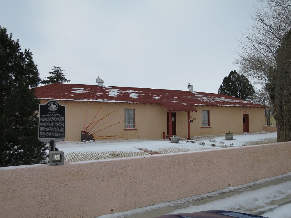 |
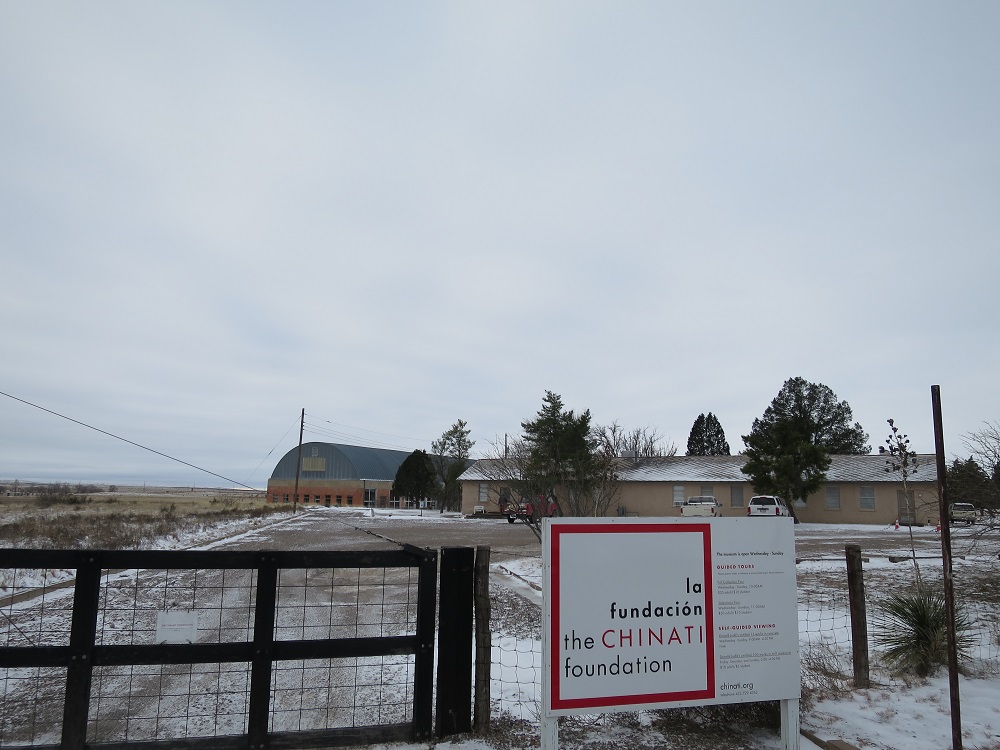 |
 |
|
| Building 98, Fort D.A. Russell | Chinati Foundation | Marfa Lights |
Left the town at 9:00am, made a stop at Mafra Light observation place at 9:15am, used the restroom since I will be driving all day today..I kept going on US-90 east back to Alpine, I caught up with a snow plow with four cars behind moving so slow, so I decided to pass them because I wanted to move quicker. Arrive at intersection with US-67 around 9:50am where I see police cruisers still blocking the road. I guess the road is not open yet and I have to drive to Marathon. The first half was somewhat snow covered on my side of the road so I had to drive carefully. Finally arrived at Marathon at 10:12am, getting on US-385 north toward Fort Stockton at 10:15am. The road was clear and the sky was getting clear also. I get to see snow covered mountains as I drive forward. The road became more snow covered as I approach near I-10. I have to be very careful when I go over a hill since the other side could be frozen. Saw a car left flipped around 10:54am, but safely reached Ft Stockton at 11:35am. Had a lunch at DQ. The road condition looks normal by now on I-10, I will see how things goes.


Left the restaurant and getting on I-10, the traffic was no so bad as expected, the sky was mostly cleared with outside temperature above freezing. There were some places which I had to drive on snow but mostly without issues. It is a fresh scenary of Texas being covered by snow.
Getting off from the I-10 and made a stop at Ozona at 1:00pm. I needed to take a few pictures of historical buildings.
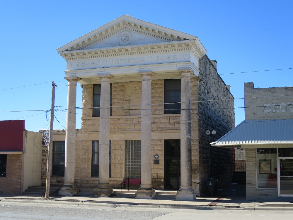 |
 |
 |
|
| Ozona National Bank | Old Highschool | Crokett Jail |
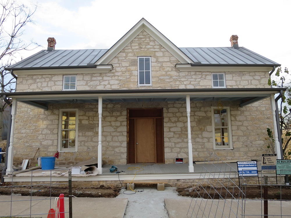
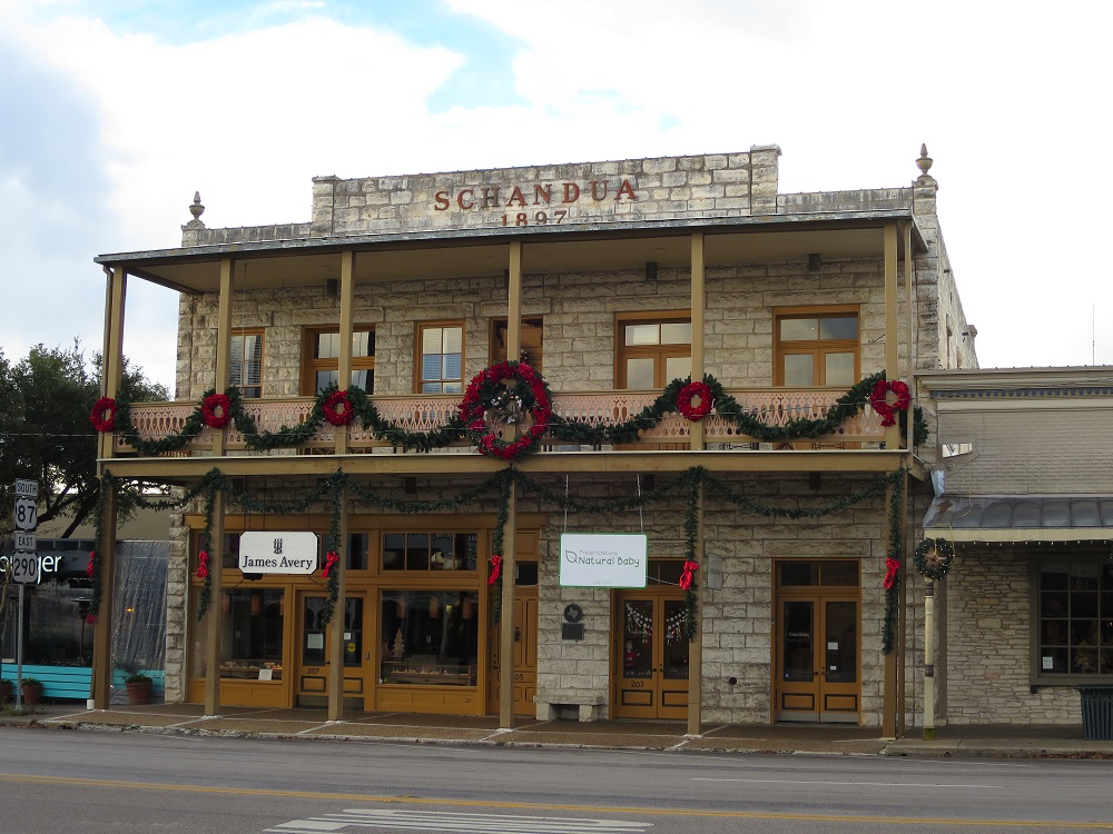
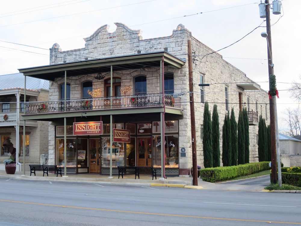
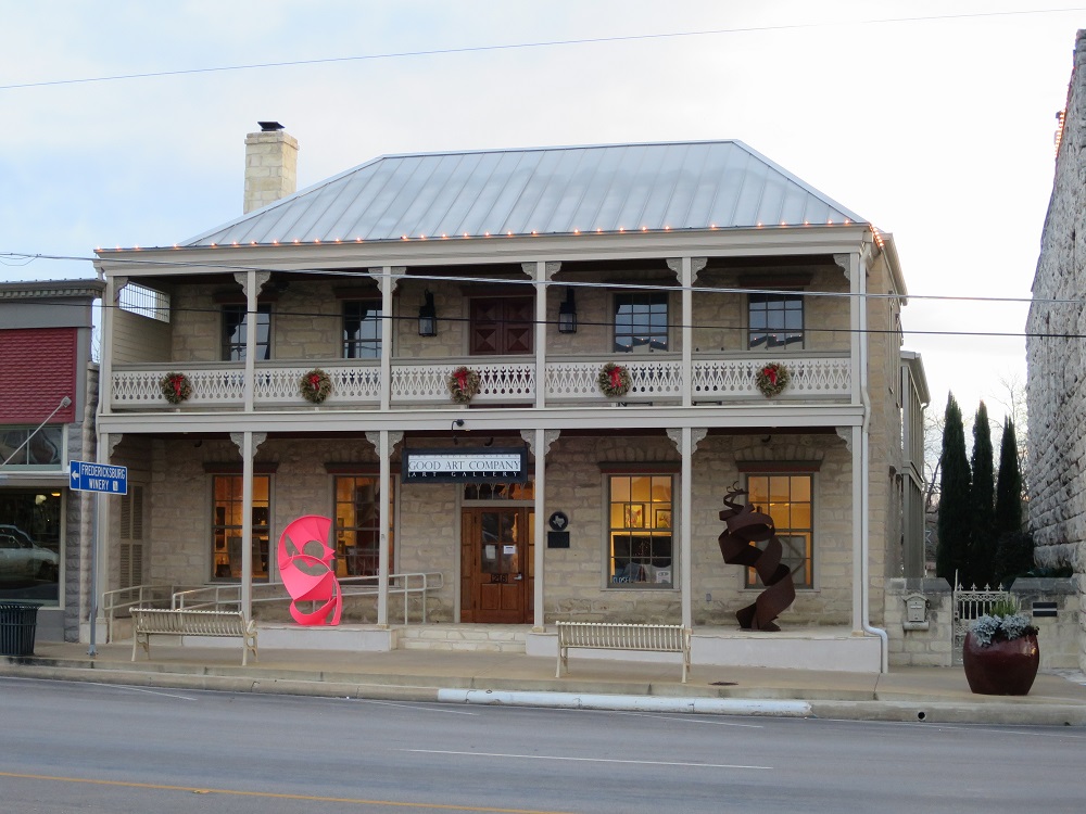
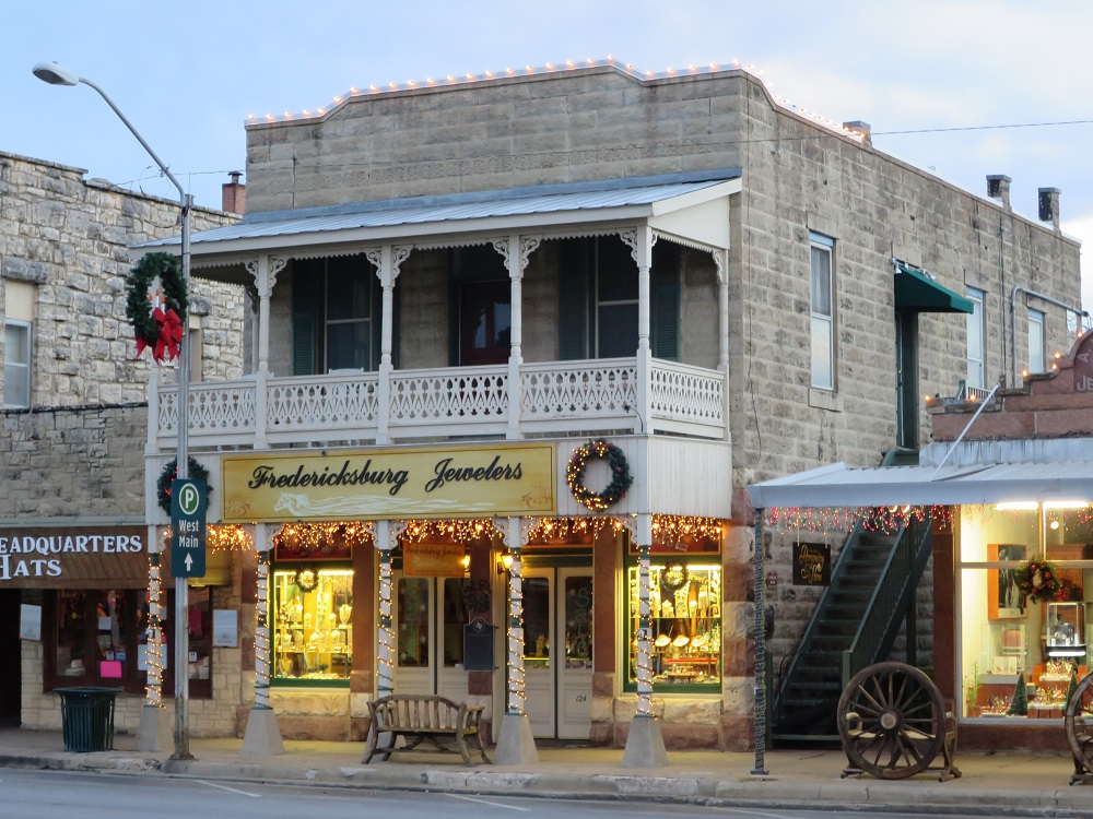
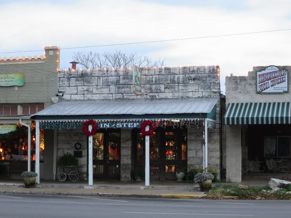
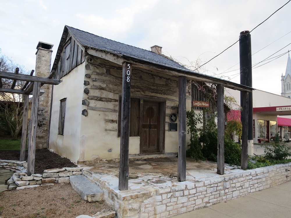
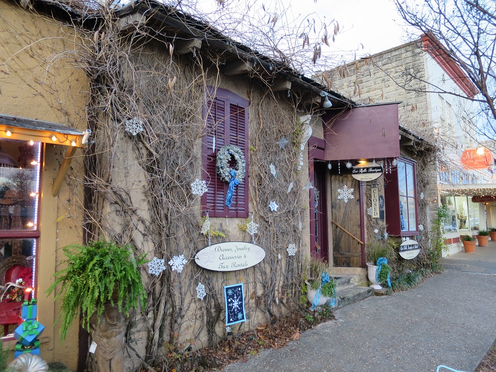
Drove back on the I-10 east and kept going until Exit 477 to switch to US-290 toward Fredericksburg. Thanks to low volume on the traffic, drive was fairly easy. Safely arrived at Fredericksburg at 1:35pm, fueled my car and parked it nearby. I began to walk around to check out the town from 4:00pm until 5:40pm. By the time, the outside was getting cold and dark.

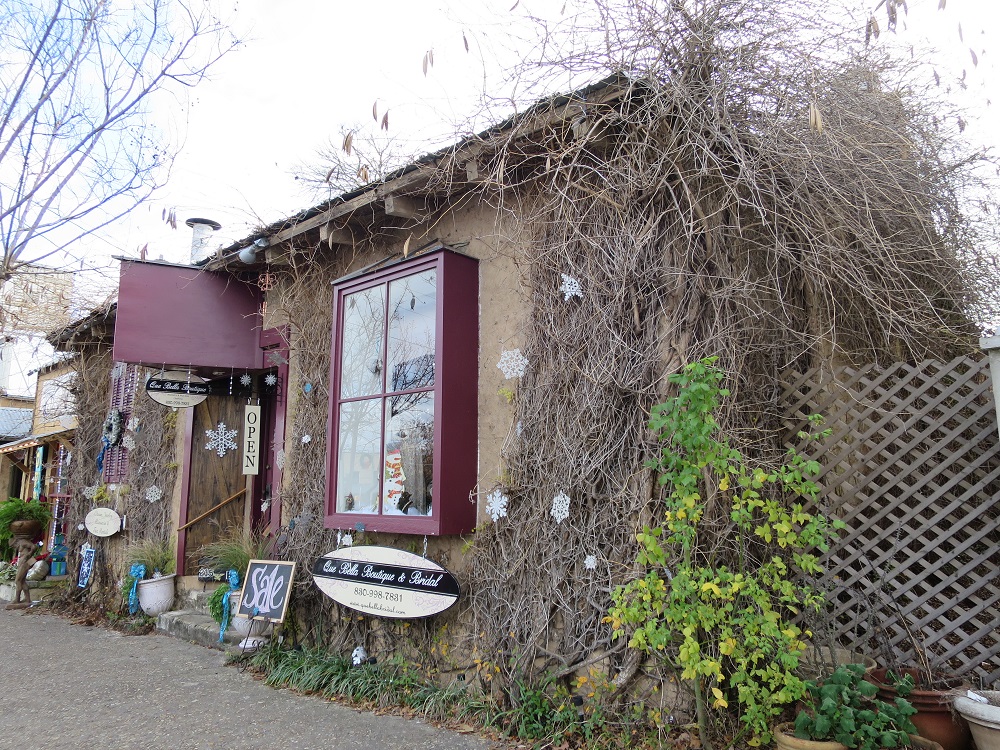
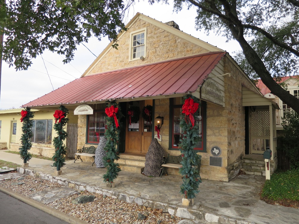
I wanted to eat something German, so I stopped by at a restaurant called Altdorf Biergarten at 6:00pm. Sausage, sourcraud, hot vegetable soup, everything was good/ Checked in at the hotel 6:30pm, while I was unloading the bags, a cat entered the room and took my bed. I had to remove it. Relazed at the room, they had pretty fast wifi so it was comfortable, set the heater for the night and went to bed around 10:00pm.
 Dinner at
Fredericksburg
Dinner at
Fredericksburg
 Check in at the
hotel, the pet cat took over my bed...
Check in at the
hotel, the pet cat took over my bed...
Miles driven 1512.5, 31.6mpg, 26:30
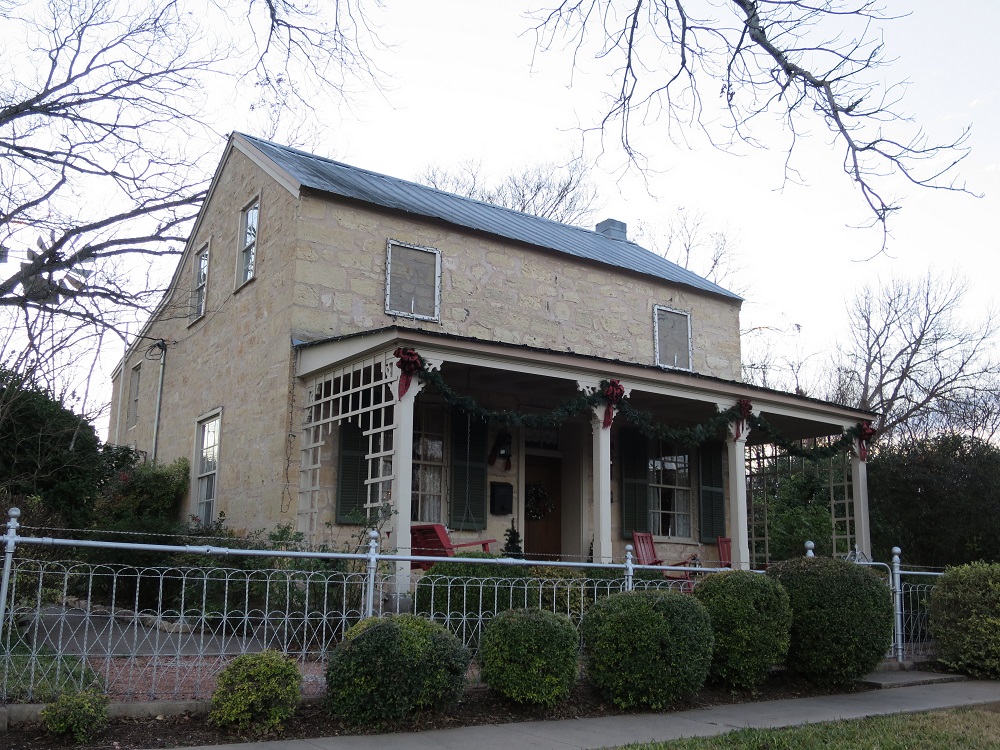
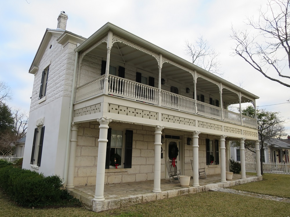
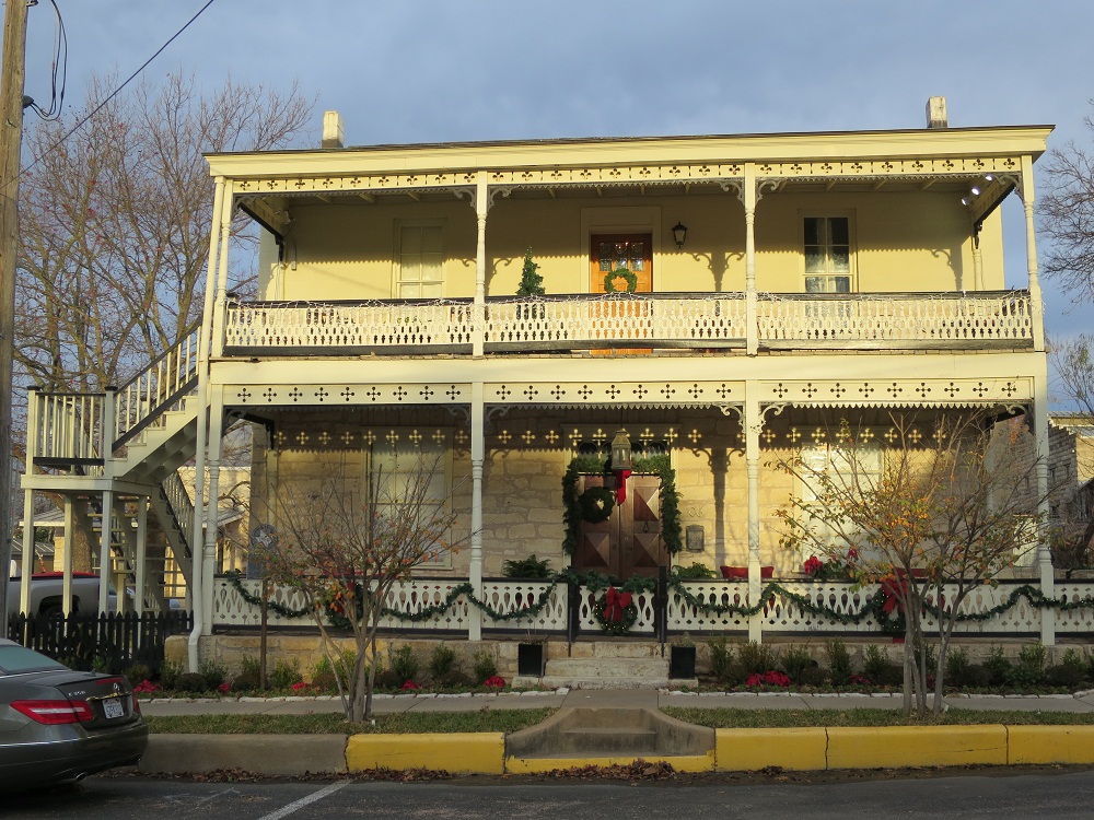
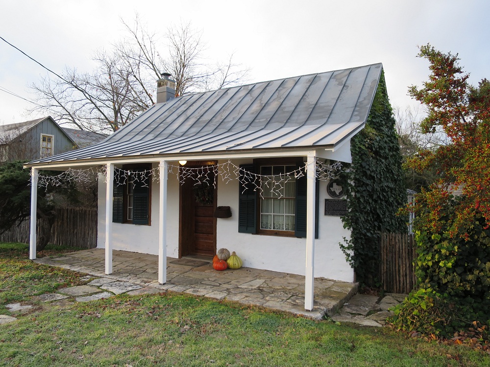
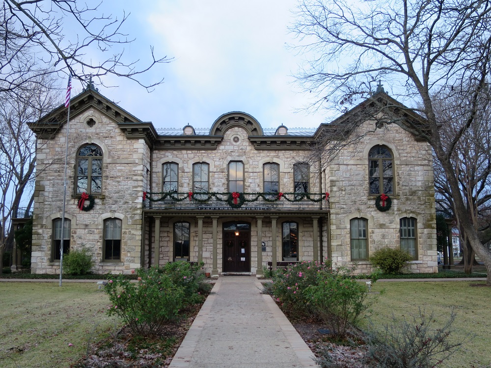
I woke up at 5:00am. It was cold at the room even the settings for the room was 65F. Stretched my body then walked out from the hotel in the morning to take pictures of more houses and buildings as the sun come up. It was around 30F and walking on the street with camera in hand was a little tough to keep the fingers warm. Come back to the hotel, packed items and left around 8:50am.

.JPG)


After leaving the hotel, I drove on a street in downtown then made a right turn into FM-965, heading north toward the Enchanted Rock State Park. The road was constant windings with up/downs like a rollercoaster ride. About 30 minutes into driving, the huge rock came into sight around 9:15am, and reached the entrance of the park a few minutes after. I paid the entrance fee at the front then parked my car for the trail walk. There are already many people parked their cars and walking around, enjoying camping in this cold weather. I checked my gears and began my ascend at 9:30am. As the name says, it it a truely a huge rock and no soil on the surface, there are some vegetations present but not much. Because there is nothing to block, I can either go streight up, or go zig-zag for easier walk. I thought it was much tougher but arrived to the top in 20 minutes. The top portion was gradual hill, so to get a nice view, I had to walk toward the edge of table.The air was still cold and windy so it was not the best place to be around for a long time.
 Checking out
from the hotel
Checking out
from the hotel
 Arrived at
Enchanted Rock state park
Arrived at
Enchanted Rock state park


I decided to come down and do a 4 mile trail around the park before head home. Started my trail walk from 10:10am, it was a easy trail, and relaxing while walking by small creekfinished around 11:40am and walked back to the car to change my shoes.


I left the parking and saw a line of cars along the road waiting to enter as I drive back to Fredericksburg, parked my car and had lunch before heading back.
 Lunch at Fredericksburg
From Fredericksburg, I took US-290 under sunny weather. The weather was finally warm and the bright sun makes me sleepy a little, There was a cop right at where the speed limit is decreased to 35mph by the city limit of Johnson City, nice try.
Made a stop at 1:30pm and took pictures of the courthouse, LBJ's childhood house, then moved on south towards Blanco. The sky was getting cloudy again, and I see many castle like structures on the top of the rolling hills along the road. They must be either a resort place or winery.
 |
 |
 |
| Lyndon B. Johnson House | Jail | Johnson County Courthouse |
Changed the road from US-290 to US-281, arriving at Blanco around 2:00pm. I just took two pictures then got back on the road and cotinue south, changed to TX-46, passing New Braunfels then took I-35 north to San Marcos so I can continue moving toward Lulling on TX-80 toget on I-10 East. It was better than driving into San Antonio metro area and fight traffic jams. Once back on the road, the rest of the segment was a smooth ride.
 |
 |
| Old Johnson County Courthouse | Adrian-Edwards |
Unloading my items, returning the car (done)
Getting off from I-10 at Eldridge Pkwy and drove to my apartment around 5:00pm. I
unloaded bags and other items from the car, transferred pictures from my digital
camera to the PC then took a short break since I felt tired and cannot go on.
Leaving home at 6:00pm to return the car at the airport. It was getting dark
outside and all the traffic on I-10 and I-610 was going so fast and crazy. While
I was going up on I-45 north, I finally saw a car wreck which a car could not
merge before the lane was closed for construction. Driving so fast gives you
less time to think and act. Arriving at the airport rental car center and returned the car at
7:00pm; 1,800mile over 34 hours. I walked to the upstairs to get on a shuttle
bus to
the terminal A where I arrived at 7:15pm. Waited for 5 minutes to get
picked up by a van, leaving the parking at 7:30pm, drove home using Sam Houston
tollway. Back at home at 8:10pm, Finally relaxing.
Link:
Cost:
Copyright 2015 - Kosuke Ishikawa / Unauthorized copying of contents, partial or whole, is not permitted.